Uploaded on 2015-05-26 by MarcusCap
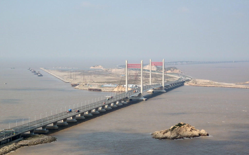
[1]: https://edxuploads.s3.amazonaws.com/14326269246302499.jpg This is a picture of Donghai Bridge, connecting mainland Shanghai with its Yangshan deep-water port. It is intended to show the impact of infrastructure in a territorial scale on multiple levels. It demonstrates the crucial role of international ports and the dependency of goods-exchange (i.e. business) on cargo ships. In order to harbor larger and deeper ships, in the early 2000s the construction of the Yangshan deep-water port started. The Shanghai harbor was, in fact, not keeping up with the demands of Shanghai’s increasing commercial role. The 32.5 km-long bridge connects the mainland with a small archipelago, where the port is located, in order to benefit from deeper waters and larger spaces to handle and store containers. The port was built by means of extensive land-reclamation, achieved with sand pumped and sucked from the ocean bottom. Such a piece of infrastructure, given its sheer mass, has substantially changed the local ecosystem and has had huge impacts on the economic role of the region (e.g. flows of goods and capital).