Uploaded on 2014-12-09 by Sean_Brown
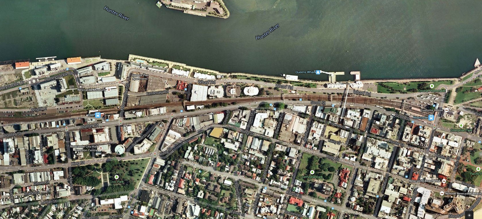
![enter image description here][1] The layout of the city is influenced by the rail line. It runs parallel with the river terminating a walkable distance from the headland, the main roads also follow this direction. What is hard to tell from the photo is the remnants of the old additional rail lines from the cities more industrial past, when the rail tracks ran right along the harbours edge. Just on the North side of the railway near civic station, the building marked Newcastle Museum, and the ones around it are old industrial rail sheds. In the photo below in the park where it says "The foreshore" is another old railway shed, the industrial railway once went right through here, which is now a family picnic area. ![enter image description here][2] [1]: https://edxuploads.s3.amazonaws.com/14181208795010696.jpg [2]: https://edxuploads.s3.amazonaws.com/14181208269549468.jpg