Uploaded on 2015-12-15 by MoatazMahrous
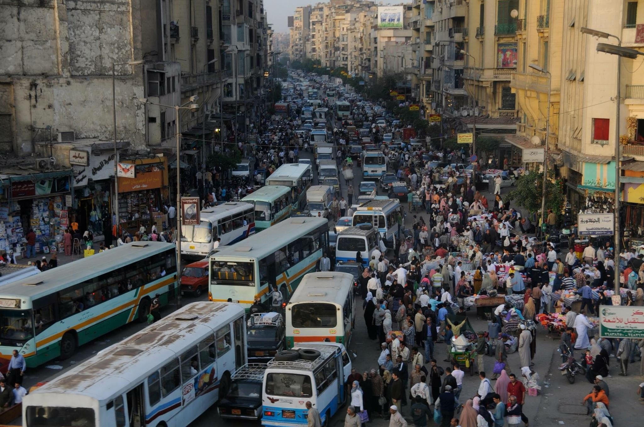
Since the country’s weak and corrupt state of governance; Market forces have shaped my city’s urban environment, and gave emergence to such a chaotic state in on our streets. ![enter image description here][1] ---------- Facts: - Telecom Company already stores data about every phone user, for about 6 months, relating to his geospatial position minute by minute, plus other data. - The location of mobile phone users, determined by Telecom Companies in dense cities, has a high resolution of up to 5m accuracy. References: - https://www.ted.com/talks/malte_spitz_your_phone_company_is_watching?language=en - http://opendata.zeit.de/widgets/dataretention/ ---------- The Project: - To attach a cheap phone with a known ID, to each public bus. - To track all phone users (most of the urban population), including buses phones, and identify through their movement speed, as whether they are static or dynamic agents. - i.e. All Dynamic agents constitute the transportation system of the city. - All Dynamic agents’ data, Except for the Public buses, are made anonymous (to assure privacy), on an open data portal on the web, showing real-time tracking. - As for the bus data, it will be used to feed android applications, and E-signs on the bus stations, with the time expected for each bus to arrive, and it may propose other optimized alternatives. - As for the visualization of all Dynamic Agents, it would also be available as heat map, that shows hot spots (congestion clogs), and its time of formation in the day. - The open data would offer great insights for researches as finding patterns in individual’s behavior, as well as, studying people in the eyes of complexity, as intelligent swarms. It would offer the adoption of advanced IT concepts in the planning of the city; such as machine learning, and automated route optimization … etc. *This is actually a part of my concept project at the Coursera MOOC: TechniCity. [1]: http://www.madamasr.com/sites/default/files/photos/features/unnamed_0.jpg