Uploaded on 2020-09-01 by abdellah el marouani
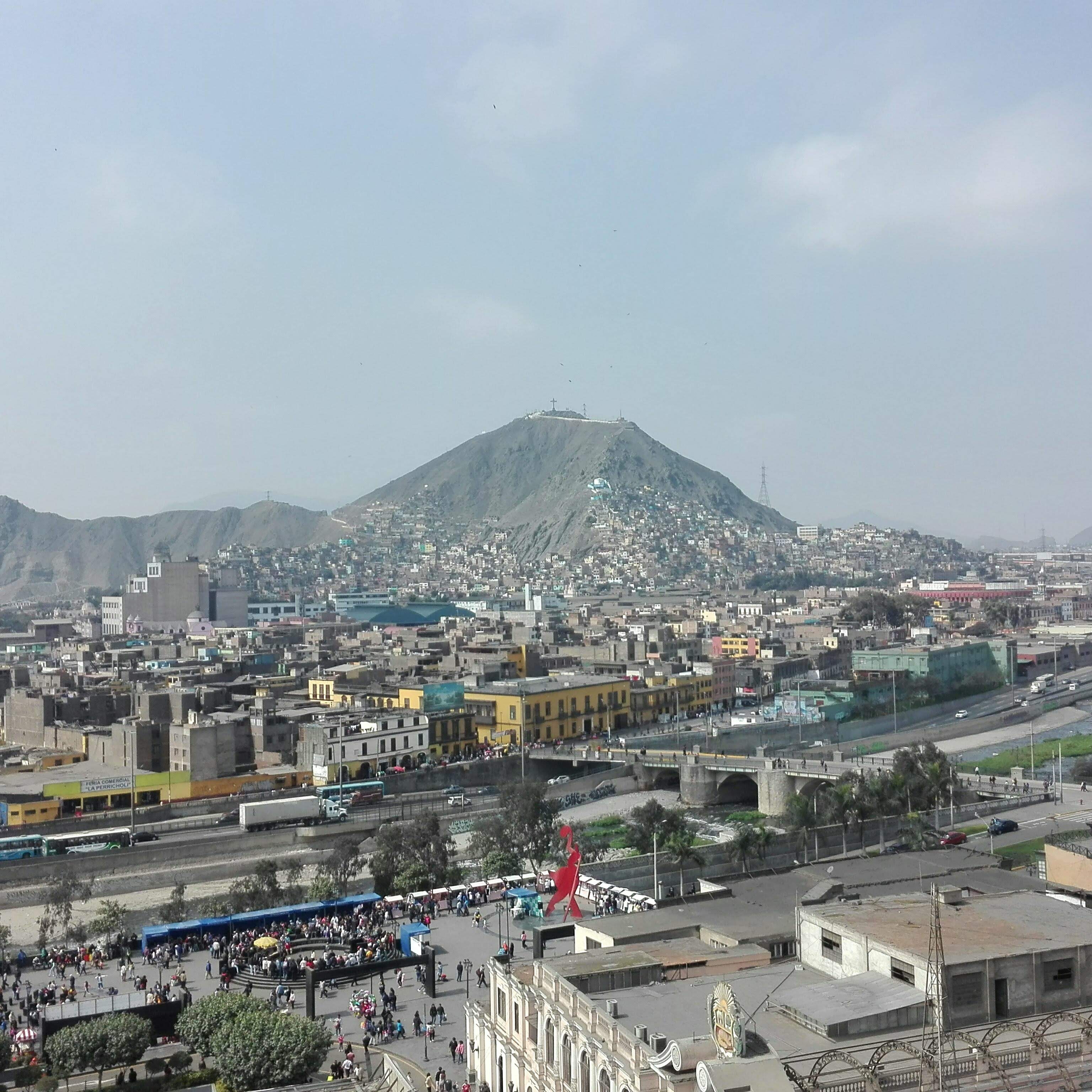
This is a picture of a part of Lima Centre and Rimac district. I will explain the visible information I see in two subjects. 1. We can see how the city expands from the buildings below to the informal settlements that are in the Cerro San Cristobal. We can collect data to identify population, social income and transport flows. Invisible information about this picture could be how many people live in this informal settlements, and how they travel and where do they go daily. Where do they play with their kinds or if there is a proper public space. We can identify the distance of this travel to propose a safe transport infraestructure to make the hill a livable place for them and there families. 2. Below the picture we identify "Alameda Chabuca Granda". We can identify that fullfills the urban fuction of a urban space but it doesnt really connects with the river that is next to it and neither in the other sides of it. Data about temporality and how the different areas near the river attracts people can help improve the value of this urban space to propose an integral river front project.