United Kingdom, London
FC-01x Future Cities (Self-Paced) - Exercise 1 : "Making the Invisible - Visible"

Uploaded on 2020-07-20 by Cristina Vanegas
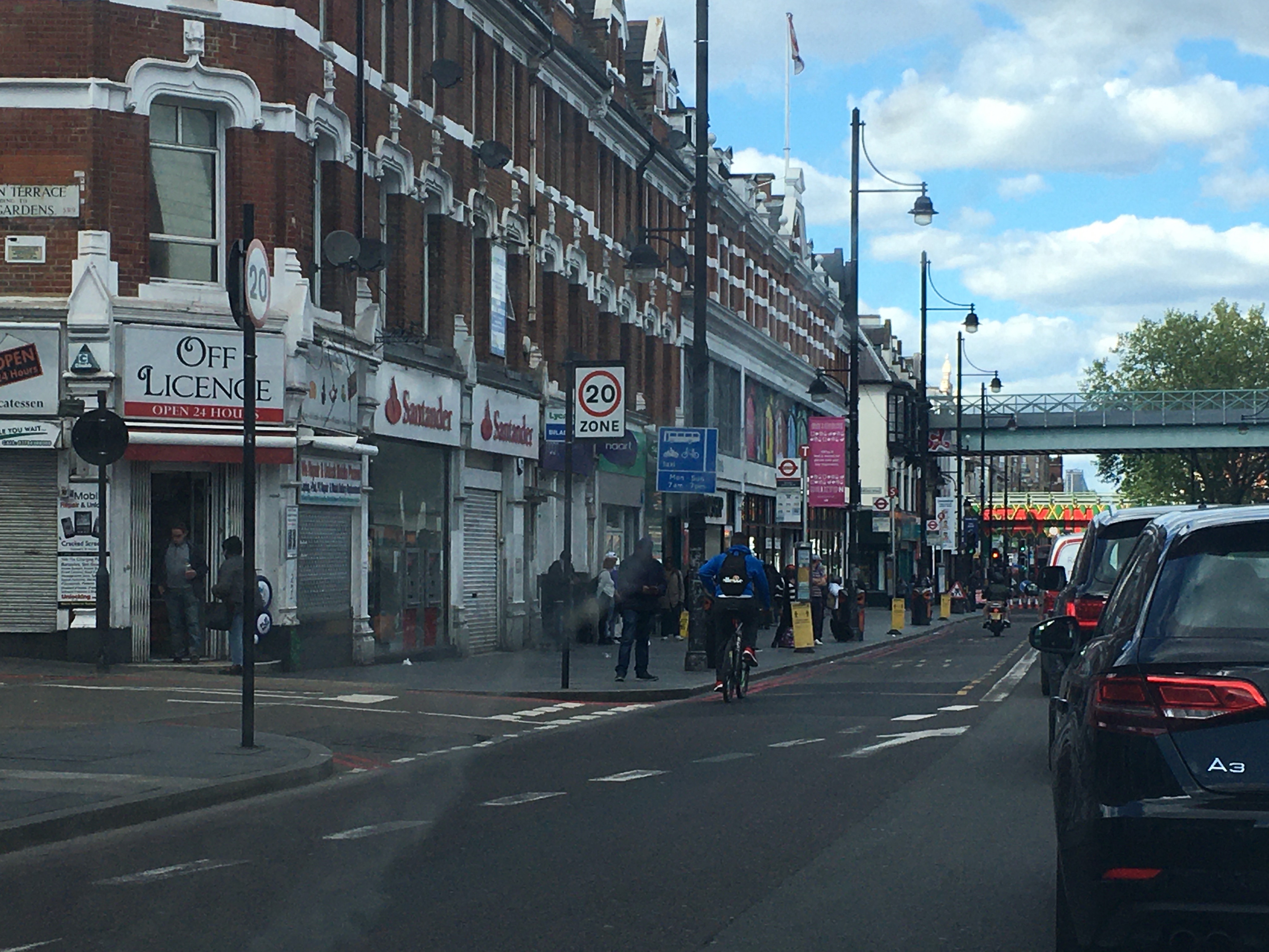
The photograph was taken in Brixton, London. The picture shows a high street where you can find several modes of transportation: cars, bus, bikes and pedestrians. It also shows a series of terraced houses with commercial ground floor, a zone of slow traffic, bus stops and train bridges. There are also signs to remind people to keep at a safe distance due to the current Covid-19 pandemic. Invisible information that can be extracted: 1) transportation links from the high street to other areas using the bus routes 2) occupancy/vacancy of commercial properties. The level of occupancy of properties can be useful to know how attractive for business an area is. Subsequently, efforts to maintain/improve the area for the local community can be directed more efficiently achieving a better outcome.