Uploaded on 2016-10-06 by Francisco Melo Vergueiro
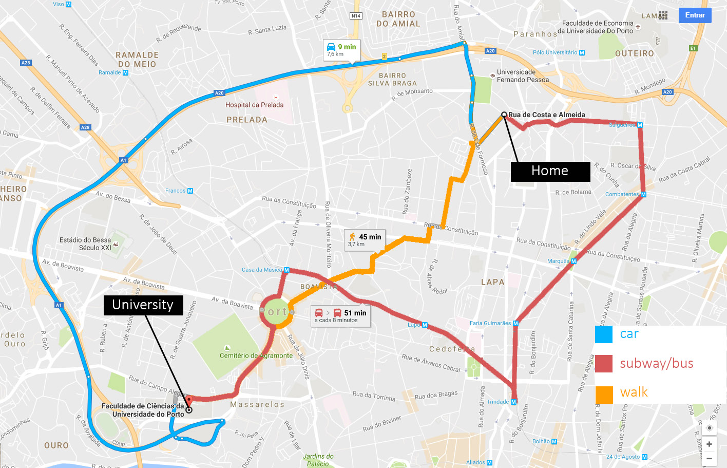
My image is a map describing three possible routes from my home to the university. The three different routes have color codes that represent the mean of transportation, and there´s also information about the time of travel and the distance. The more efficient route to the university is the one associated to the car. Normally I take the highway because it´s the fastest way, but regarding to the expericence itself, this route is very monotonous and since I have to pay attention to my driving, and the other cars, I don´t have the predisposition to engage myself with the urbanlandscape. I think the main, and only, benefit of this route is the time of the travel. The route of public transportation is ineffective because it takes a lot of time, even more than walking. In some areas of my area, the network of public transportation doesn´t enable the expected mobility and consequently, liveability. Walking is always a good solution, for the benefits that were mentioned in the lectures, but also because allows the user to feel the city in a different and very special rhythm.