United Kingdom, Manchester
FC-01x Future Cities (Self-Paced) - Exercise 1 : "Making the Invisible - Visible"

Uploaded on 2020-05-21 by Iain Roberts
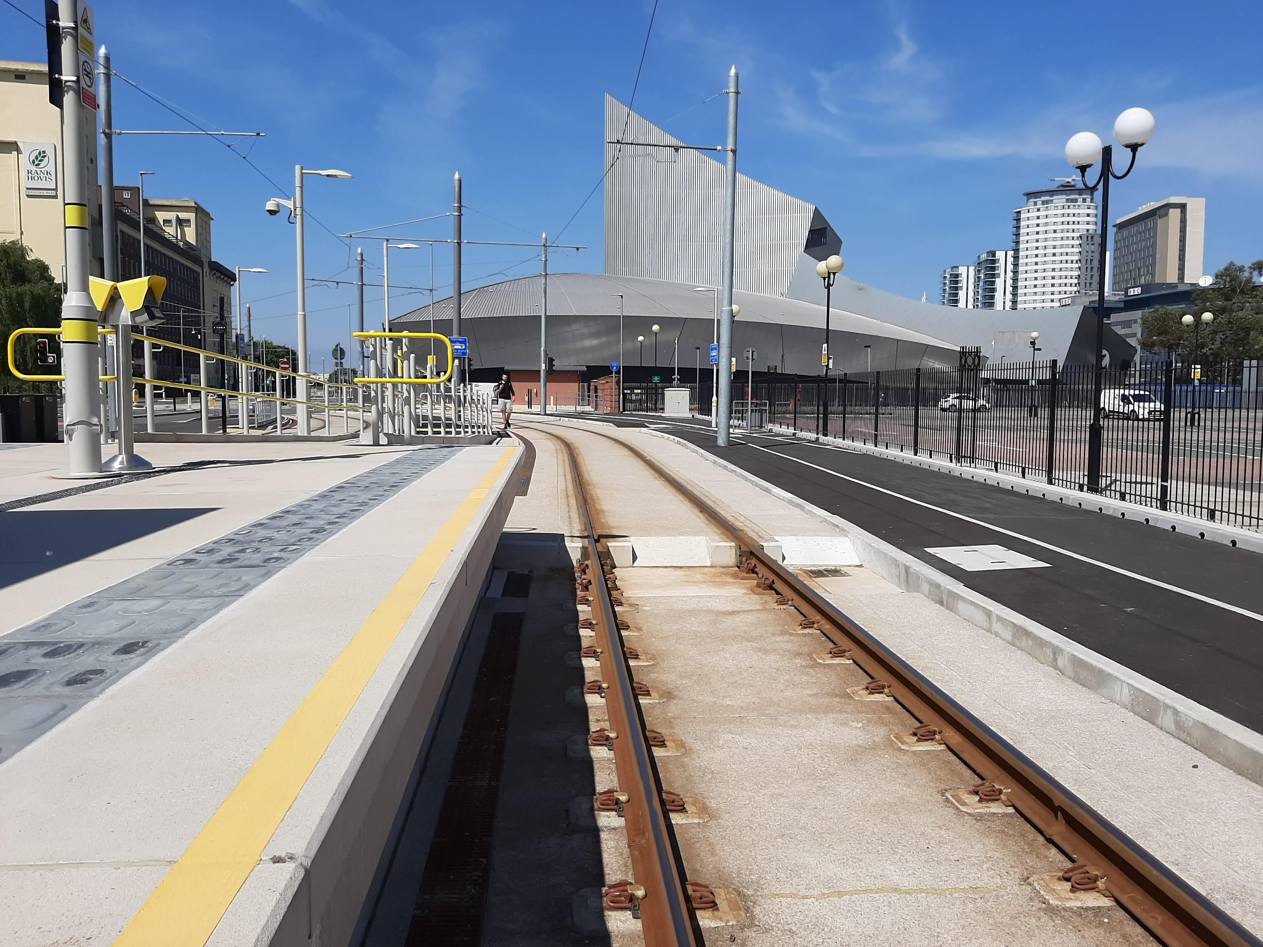
This image shows a Metrolink tram stop, footway and cycle path in the foreground. In the background there is an industrial unit, the Imperial War Museum of the North (a signature building) and some residential apartment blocks. Information: 1. How many people getting on and off tram, walking and cycling at this location. This could be broken down to look at who those people are (age, gender), where they are going, where they have come from and the purpose of their journey 2. How many visitors to the Imperial War Museum of the North and where else they are visiting Knowledge 1 above can be used to develop a model of who is moving around the city at different times and where they are going to and from. This knowledge would inform transport provision: cycle infrastructure, bus routes, tram & train frequency. The aim is to get people where they want to go quickly, easily and sustainably.