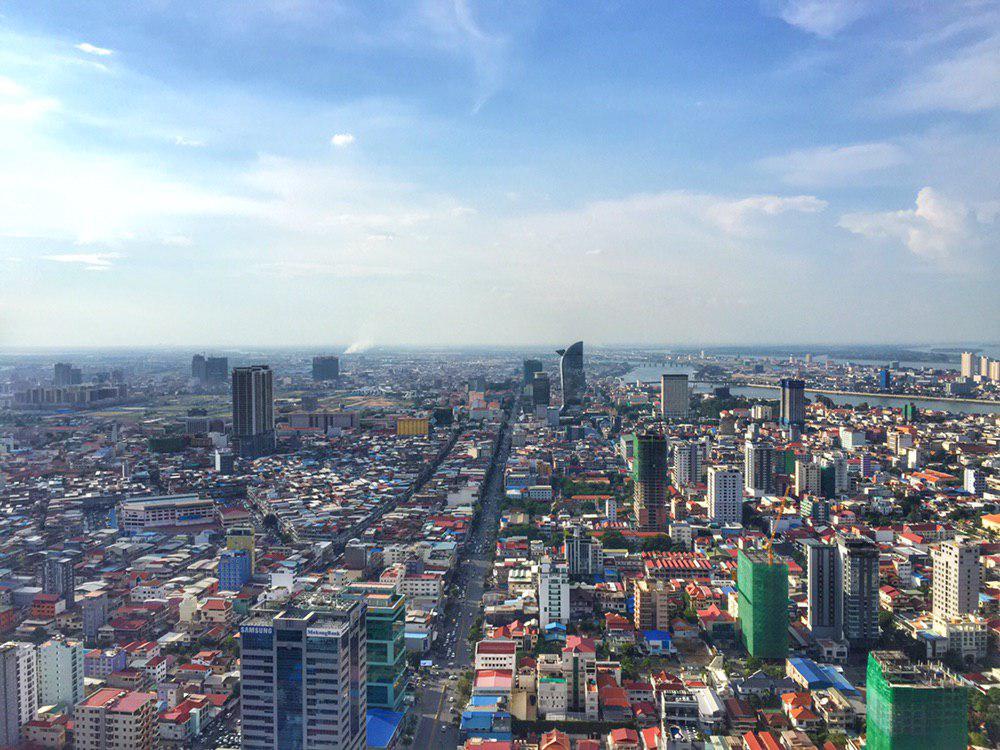
Cambodia, Phnom Penh
FC-01x Future Cities (Self-Paced) - Exercise 1 : "Making the Invisible - Visible"

Uploaded on 2019-06-08 by Nguonsong Eung
The photo is urban area of Phnom Penh, Cambodia taken on May 31, 2019 at 4:20PM. 1. The visible information we could see from the photo is: - Geography: Phnom Penh is located on a flat area by the the river. - City Pattern: Most buildings height range between short to medium, but there're also new constructed high-rise buildings scatters within the area. - The main road in the photo is Monivong Boulevard. It is one of the busiest road in the downtown where there are many restaurants, condominiums, offices, and commercial building nearby. 2. The invisible information is: - High-rise building is increasing within this area day by day. We don't know how many trips those high-rise buildings will generate. - We also don't know how those trips will be distributed, and in which pattern the traffic looks like during different time of the day 3. Knowledge from invisible information: - Trips that each high-rise building generates are the travel demand. By knowing travel demand in the present, we can predict the travel demand in the future. From this extent, we can prepare a good planning and policy in advance to accommodate and control those travel needs.