Uploaded on 2017-11-23 by lucas assumpção requena
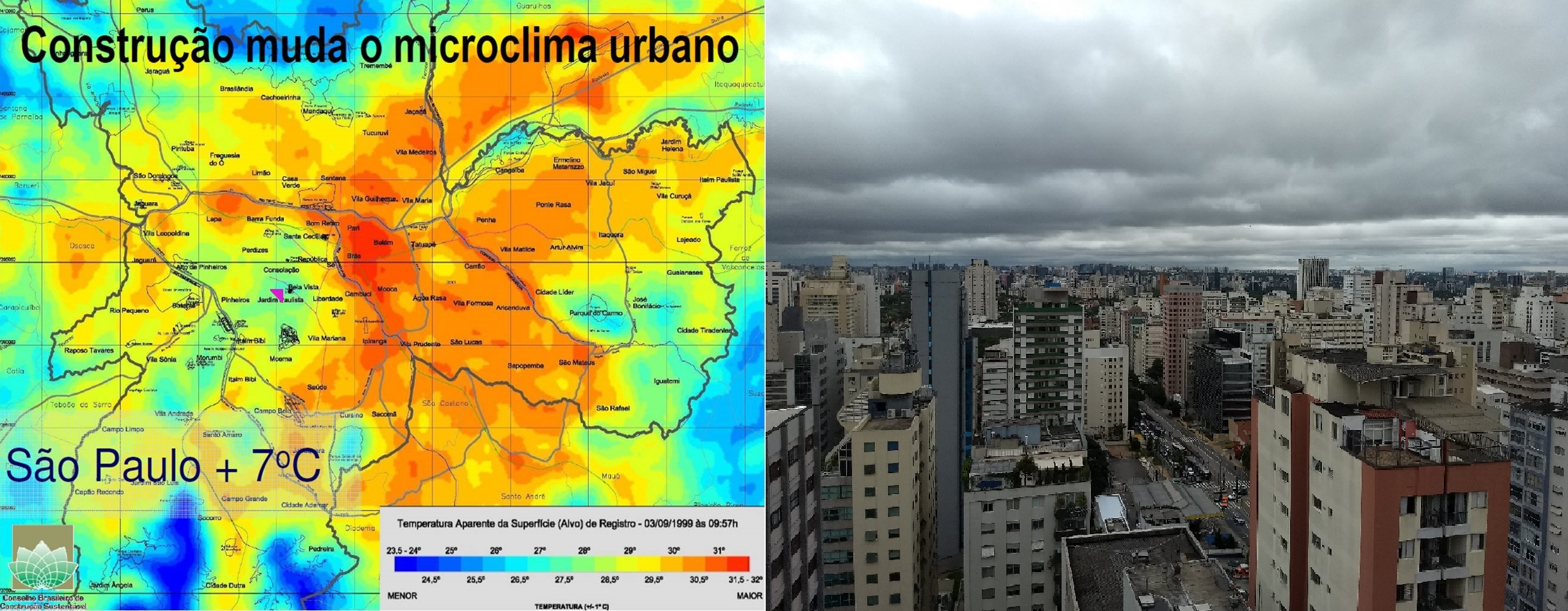
1- ok 2- I let an image of Sao Paulo showing its "heat island" and inside the image a purple triangule which marcs the point I have took the picture of my neghborhood. Although I live in a central area with high density occupation, in the map we can see my neighborhood as an oasis inside the city. I think this occurs due to my neighborhood is located on a high landing inside the city with good winds refreshing the streets which is also wooded, also in this neghbohood the streets are ortogonal and the buidings are of the type standalone. Near by where I live, in the downtown we can see the opposite example of heat island. 3- I would create ways to try reduce the high tempertures effect in the heat ilands which already exists into the city. The new neighborhoods should be designed with the parameters tha reduce the impact os the urban occupation on the increase of local temperature. 4- They are tring to plant more trees in the streets and implanting vertical gardens in some facades in the city. I live in a place with very few policies in the liveablity field.