Belarus, Minsk
FC-01x Future Cities (Self-Paced) - Exercise 1 : "Making the Invisible - Visible"

Uploaded on 2017-09-14 by Anton B.
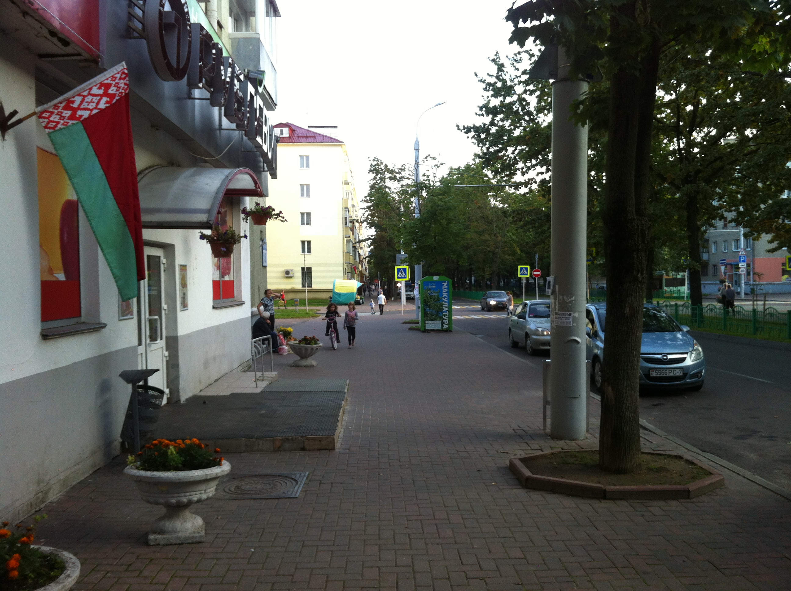
1. The information, that's visible. There is an urban area with low storey level of buildings. We see a boulevard. It has two parts: pedestrian ways and the road. There are some trees in the center of the boulevard. We can see some walking people on the photo (about 7 p.m.) and few cars and trolleybus are there. There is an entrance to the shop on the left side. It has one step to come in and a ramp. It's supported by advertisement, by flowerbeds and by the natonal flag. Also we can see different colors of buildings. We've got more than one commersial point on this street: kiosk is on the background and the consentration of 'shop-grannies' is near of the shop's entrance. Not far from it is a box for utilising a paper or books. 2. What can be extracted out of this information? 1) The flags. The flags represent big national celebratings in our contry. It shows the oficcial part of the red-letter-day. By this information we can find out which parts of the city are oficially livible. It demonstrates top-down level of the city managing. 2) The 'shop-grannies' consentration. This represents botoom-up level of city life. These madams appear on the good points of city interactions. These interaction have to get good commercial reasons and it's situated not far from the supermarkets, food shops ant etc. 3. The shop-grannies. This information can show us how the pedestrians of the nearest district use the environment and how we can make this previously planned environment more livable. Of course that's difficult to count this points, because the biggest part of people who sale things on this way is more than 50 years old (they haven't got smarphones or something for big data producing). Despite this, they create public points to communicate with diverse types of people on the certain street.