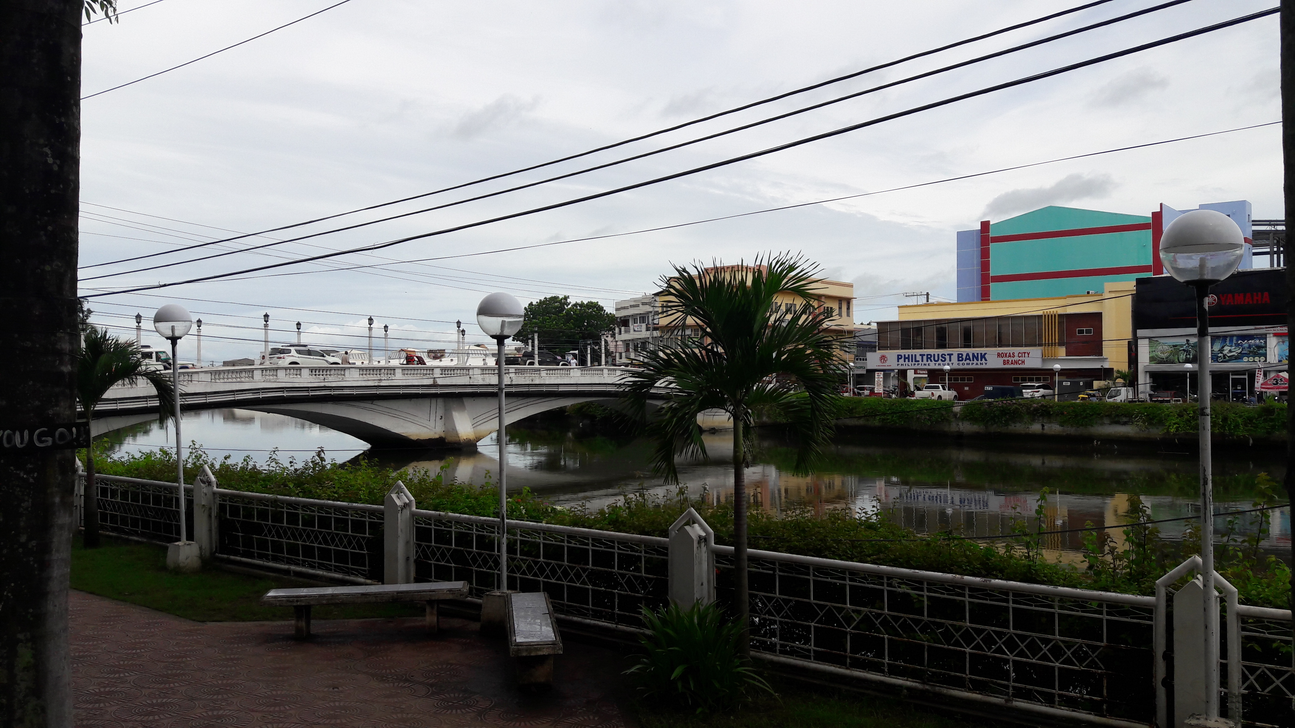
Philippines, Roxas City
FC-01x Future Cities (Self-Paced) - Exercise 1 : "Making the Invisible - Visible"

Uploaded on 2017-09-02 by Jose Raoul Jimenez
1. Visible Information: - A river network runs through the city - Two parts of the city are connected by a bridge - The bridge allows pedestrian and vehicular access - The bridge only allows one way vehicular traffic - A public park/esplanade lines a part of the river 2. Invisible Information: a) This city may have urbanized from a riverfront community and thus have developed a livelihood from the river and other surrounding natural bodies of water. b) The city may have been zoned into two different areas which was divided by the natural boundary of the river. One side generates more commercial land uses while the other generates residential or institutional uses.This can then project information on activity and movement patterns of the inhabitants of the city. 3. Information 2b above can become knowledge as it projects the movement of activity and resources in the city vis-a-vis the established boundary of the river. It determines in what part of the city commercial functions will be held and in what part will people retire for the day. This consequently determines at what part of the day these movements occur. With this knowledge,transportation infrastructure can be planned more effectively by determining at which points it is best to establish physical connections and nodes. At the same time, transport planning efforts will also focus on ensuring that resources can travel to and from these two parts of the city.