Austria, Vienna
FC-01x Future Cities (Self-Paced) - Exercise 1 : "Making the Invisible - Visible"

Uploaded on 2017-05-07 by Cristina Martín-Sonseca Ponz
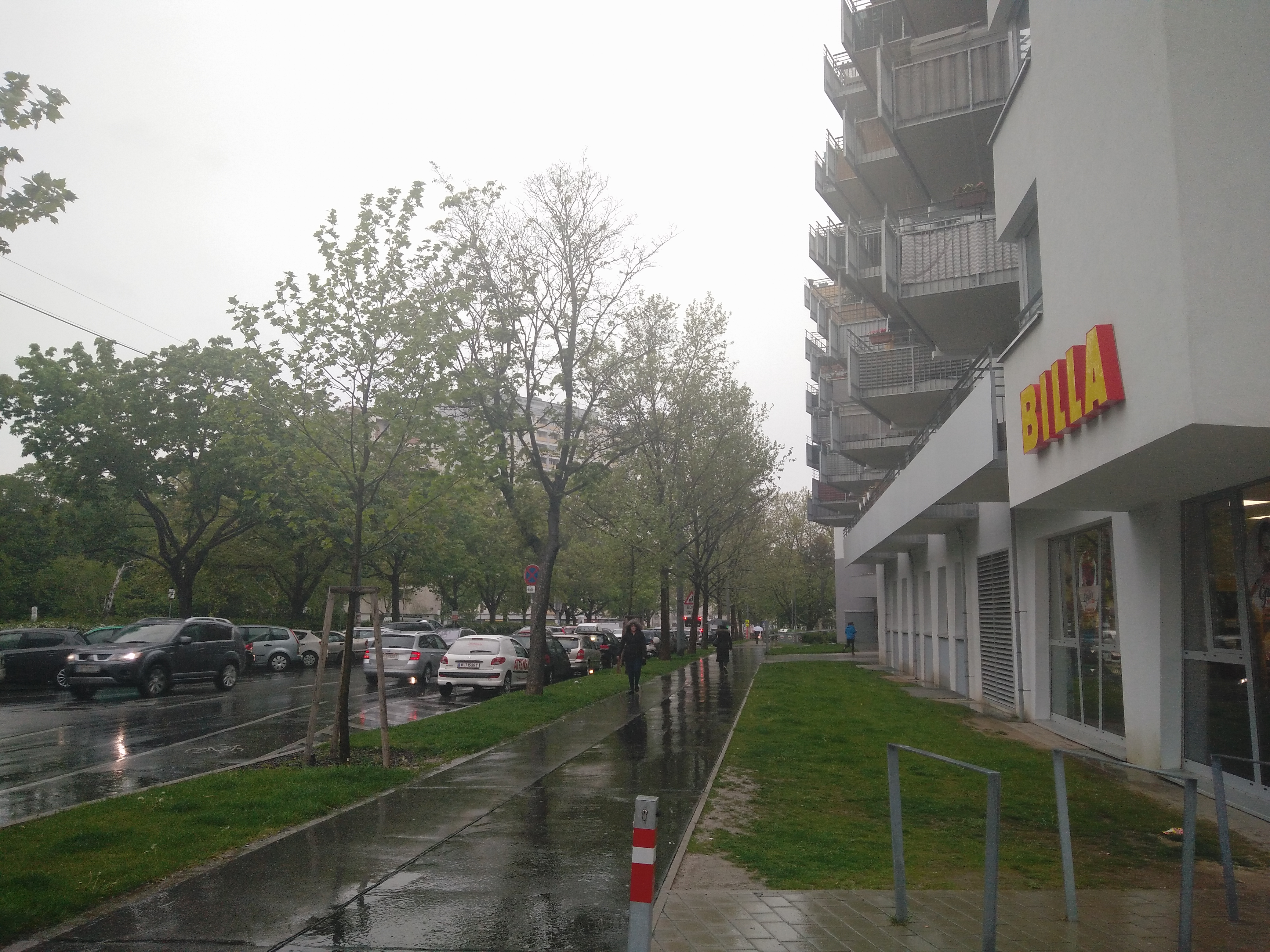
This pictures shows a portion of the street Laaer-Berg in Vienna. It shows some pedestrian traffic, some vehicles both in motion and parked, including a bus in the background, green areas along the street and several buildings that for the amount of balconies seem to be residential. The conclusion that it is a residential area can also be obtained through the great amount of parked cars compared to the ones in motion. For this exercise I would like to simulate that this picture was taken every five seconds for a minimum of one year. This would lead us to great amounts of data such as traffic and pedestrian traffic. Overall, the visible information that we can observe in this picture is the vehicle and pedestrian traffic, the type of buildings and the natural elements implemented in the area. From this we can find some invisible information and conclude that this is most probably a residential area and, with the data extracted from the repetition of the picture, the traffic patterns can also be obtained. This way it is possible to understand what are the times that the pedestrians are most using the side-walk, which days of the week, how busy the street is on holidays, and it can even be matched with the weather conditions (e.g. the picture was taken on a rainy day and there are less pedestrians than the average, according to my personal experience). In terms of vehicle traffic, the rush hour could be found, when is the traffic heavier and in which direction, when are the buses coming more frequently and when do citizens use them more often from the stops in this area. I would like to now focus on the traffic information obtained. Depending on the exact facts, it could lead to changing the bus schedules so they come more often when people go to work and back from work from the residential area. If one of the directions of the street is more busy than the other than another lane could be added. If there is barely bike traffic, the bike road could be omitted. The side walk could be reduced if the pedestrian traffic was not too great and converted into bigger roads, or bigger green areas depending on the needs. However, I feel it is necessary to remark that all these changes cannot be obtained just from one picture but from the repetition of it, the recording of its data and the transformation of these vast amount of data into information and knowledge. This knowledge could then be applied to create a city that adapts to the needs of its inhabitants and not the other way around.