Russia, Moscow
FC-01x Future Cities (Self-Paced) - Exercise 1 : "Making the Invisible - Visible"
Uploaded on 2017-01-31 by Anastasia Petrova
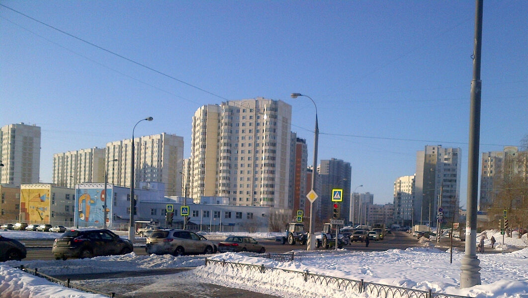
First of all, this urban area is characterised by presence of the plenty of multistorey apartment houses and big amount of cars. Besides, the photo reflects such visible information as traffic regulations depicted on road signs and road signals, winter conditions and cleaning equipment (snowploughs/tractors), amount of pedestrians, presence of public transport (bus stops), street lighting etc. As for invisible information there are two examples: transport interchange patterns by spontaneous parking and pedestrians’ routes by traces in the snow. I want to review first example. If you can see on the photo there is the row of cars along the fence of low colourful building (on the left side of the photo). These cars were left by people which work in the center of Moscow, for example. But they live far from significant points of urban transport system that can help to get to work quickly. And one of such points is subway station. (Closest subway station is situated in the distance of about 500 m from point of taking current photo). Such practice suggests that there is not appropriate transport hub and people have to left their cars anywhere. Also it tells about utilized capacity of land transport (in particular, buses). Point of taking photo on Google Maps: https://www.google.com/maps/place/55°32'31.1%22N+37°30'51.8%22E/@55.5419752,37.5122002,17z/data=!3m1!4b1!4m5!3m4!1s0x0:0x0!8m2!3d55.5419722!4d37.5143889