Uploaded on 2015-06-14 by DimitarNikov
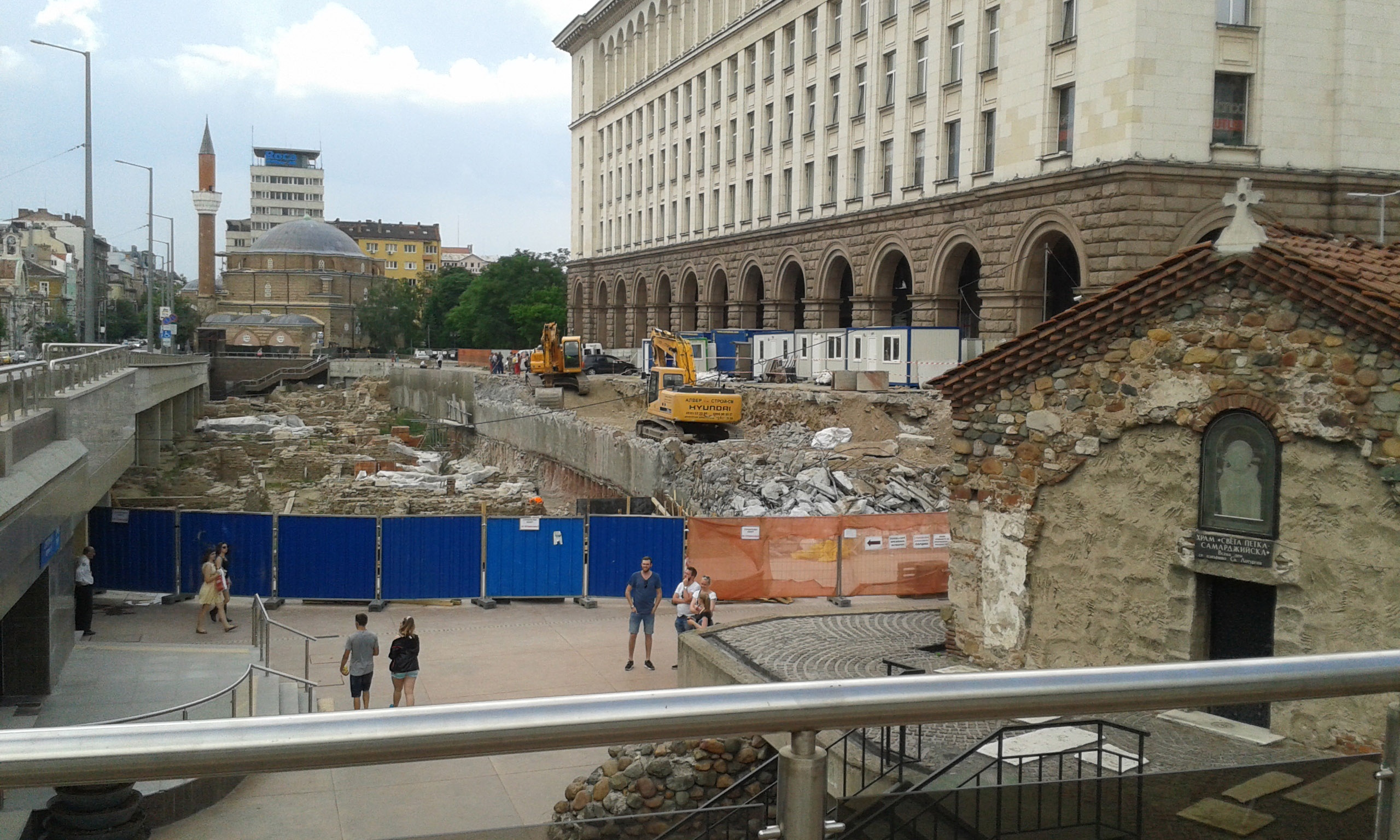
[1]: https://edxuploads.s3.amazonaws.com/14343017079266816.jpg Here we see the two most important directions affecting the morphology of the road network in Sofia. The road to the left in the picture is the direction of northeastern Europe to Greece and the Mediterranean. The road to the right in the picture is the direction from Europe to Asia Minor and the Middle East. These directions are crucial to the city for more than 2000 years. About 5 meters below me is the level of the ancient Roman city of Serdika. A few meters in front of me cross the same two directions in the Roman town. Below them cross the same two directions in the underground of the present town. Above them are the ruins of subsequent eras and buildings of the current City. You can see the little church and the mosque in front of us in the distance. They are from the 15th century. Today we continue to think and argue on: Here you still need to cross roads today?; Here you still need to cross two underground lines today? These two directions excite people in this city more than two millennia and probably will continue to excite them in the future.