Uploaded on 2015-06-15 by maksymilians
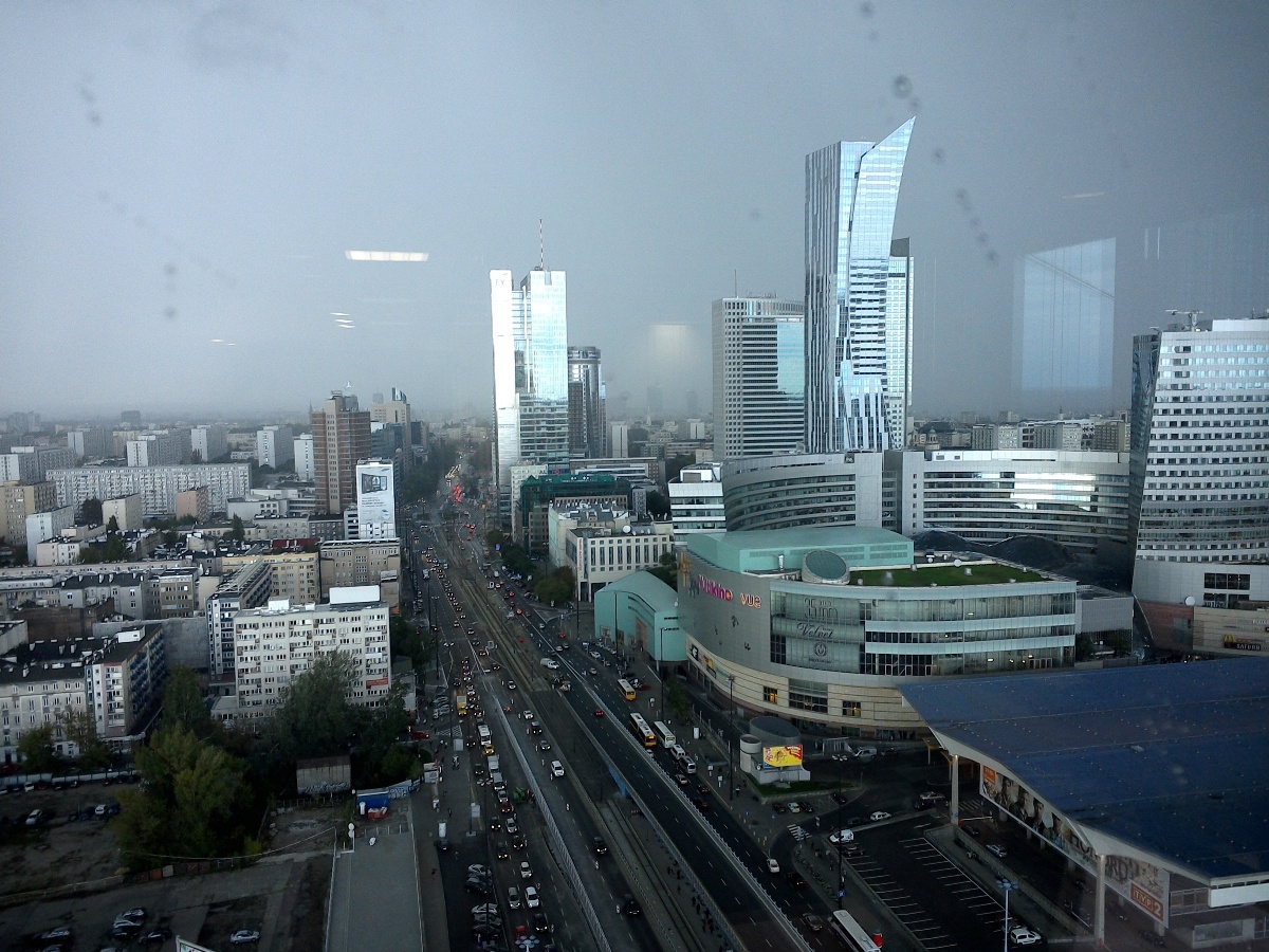
![Warsaw, PL][1] 1/ visible information on the photo: - road with cars, skyscrapers, buildings, buses, rainy weather 2/ "invisible information" that can be extracted out of the visible information of that photo: - people movements - money flows, finances 3/ how this invisible information can become knowledge and contribute to the planning - this area is the Poland Capital's main short and long distance train / local bus / tram transportation hub of Warsaw, with city's Central Train Station (building in the bottom right corner) - pedestrians are moving nowadays below ground (below ground is hot in the summer), there are any onground passages through the main road (there are also any lifts for handicapped people or baby strollers) - the bus- and tram-stops are situated in not really good way (not really clear situated and hard to find) - gathering of the information how people move, where, how many, will help to redesign that area in a more liveable way - make onground passages, etc) - it will contribute as well to put bigger (longer) or higher number of buses and trams during the day peaks (working hours) [1]: Warsaw Poland - photography by MS [1]: https://edxuploads.s3.amazonaws.com/14344004354481047.jpg