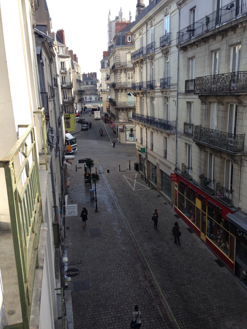
Historical quarter of Nantes
FC-01x Future Cities (1st Run) - Exercise 1 : "Making the Invisible - Visible"

Uploaded on 2015-04-22 by JulieMilovanovic
[1]: https://edxuploads.s3.amazonaws.com/142968923097136.jpg This is a picture of narrow street in the historical center of Nantes, France. The information visible in the picture are the typology of buildings, the fonction of the are (we can see shops on the ground floor, and appartements in the higher levels), we can see that is is a pedestrian street that crosses with the car street. We can have an idea of the hight of buildings, counting the levels, and we can also guess that there is a monument in the background on the right (the cathedral). 2. One of the invisible information is the period of construction of the buildings, and all the data linked with it (style, type of material, techniques etc...). In fact, they are not all from the same time period, some where destroyed over time and reconstructed the same way after... An other invisible information is physical information like the amount of light, the air quality, wind speed (this city is close to the atlantic ocean and west wind is sometime quite strong), etc. 3. Invisible information linked with the amount of light on a surface (street or building facade) is quite important and can give orientation for better design. We can measure the quality of light received by a surface on a year base, this depends on the location, the exposition and surroundings (high buildings will create shadows for other ones). With this information we can plan a better composition of urban volume so that each elements of the urban fabric will receive a 'good' quantity of light (heat) per day. In this way we can increase the quality of the urban space as well as the quality of the building itself (optimizing the use of natural light to heat less).