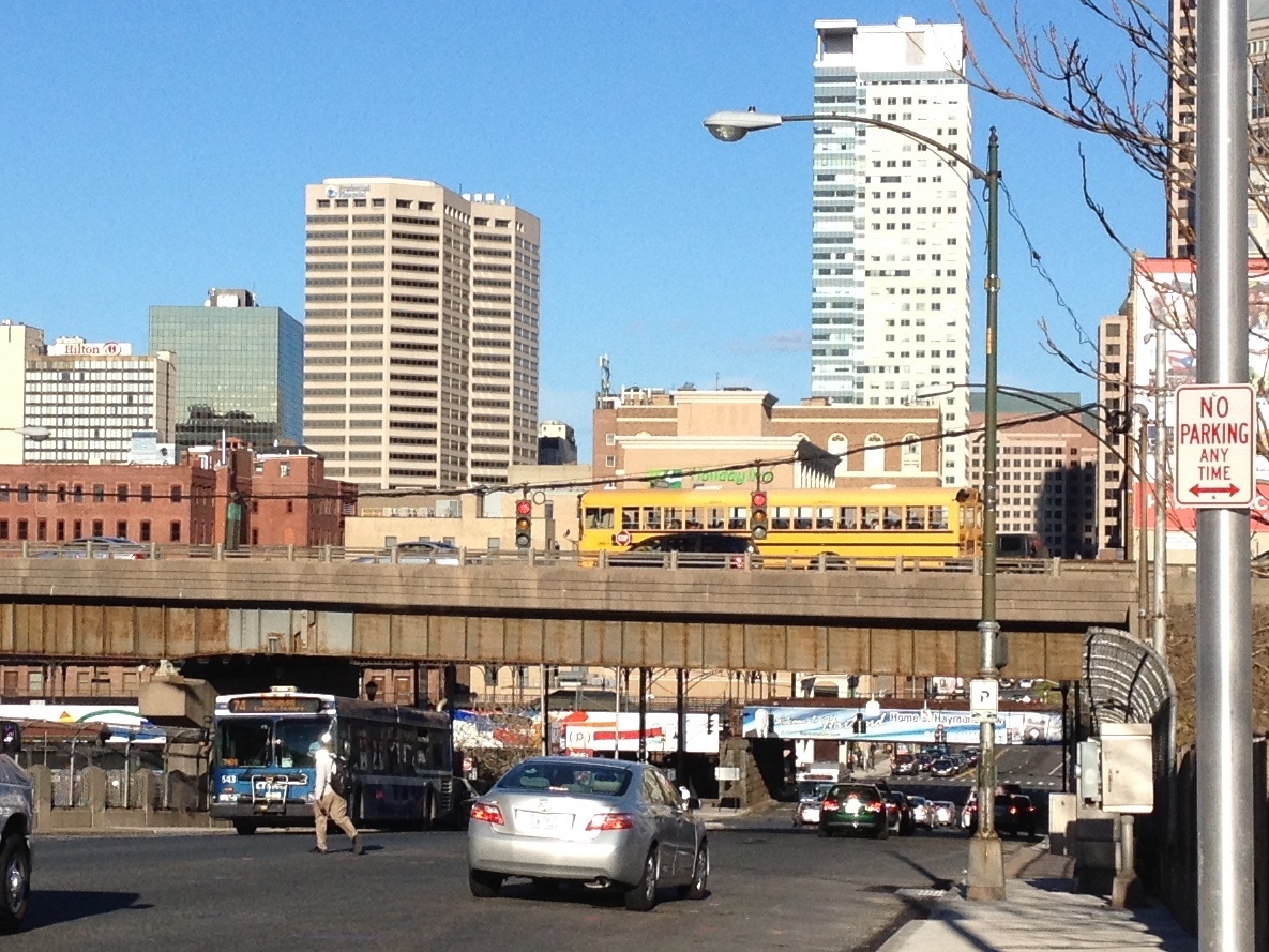
Hartford, CT, USA - Invisible-Visible
FC-01x Future Cities (1st Run) - Exercise 1 : "Making the Invisible - Visible"

Uploaded on 2015-04-29 by WBJmom
Visible Info: - Vehicular Traffic including cars, city bus, school bus (on conjested interstate highway overpass), train (on white overpass in distance) - Lone pedestrian - awkward area to cross, not too many people walking at this time of day (6pm on a weekday) - Sidewalks - Different scales of buildings - Variety of building materials (brick, glass,precast concrete) - Signal lights, signage, street lighting Invisible Info: - Age of buildings and infrastructure - Number of people commuting to, from, and through the city A collection of data of the numbers of people commuting to, from, and through the city could be connected into knowledge of how to plan the transportation options for the city. Should highways be routed further outside the city? Should the train/bus/cars/pedestrians have better access points? Are there better transportation options to ease the traffic? Can information architecture help our current cities as well as plan future cities? [1]: https://edxuploads.s3.amazonaws.com/14303157441186702.jpg