Uploaded on 2015-04-21 by FreyAfric
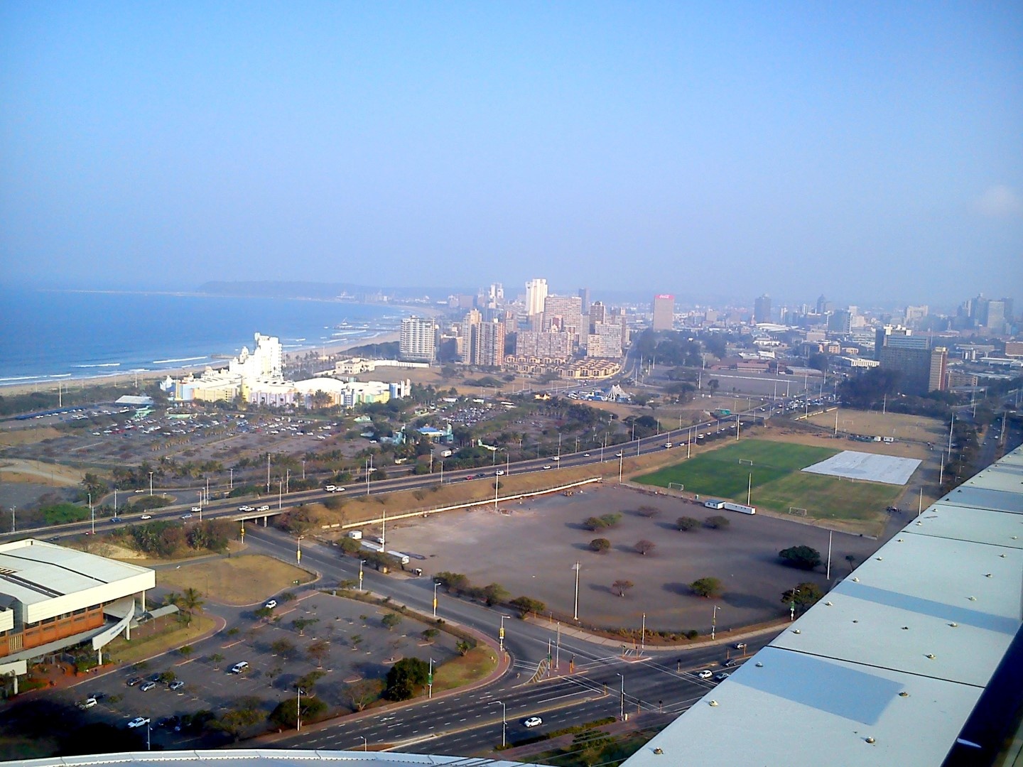
1. This picture shows the view of downtown Durban from the Moses Mabhida stadium. It reveals the city's zoning system, showing the edge of town, the beach, leisure areas like the white hotels shown and recreational areas with sports fields and stadia. These bands are demarcated by transport networks (highways and railway). 2. Invisible information is the movement and activity of people among the bands and people's purpose of travel (work, tourism, passing through etc). 3. Invisible information on how people interact with the zones could influence decisions on which segments of the bands and activities need to relate to each other and where vehicle and pedestrian routes should be placed or may be redundant. [1]: https://edxuploads.s3.amazonaws.com/14296078676689347.jpg