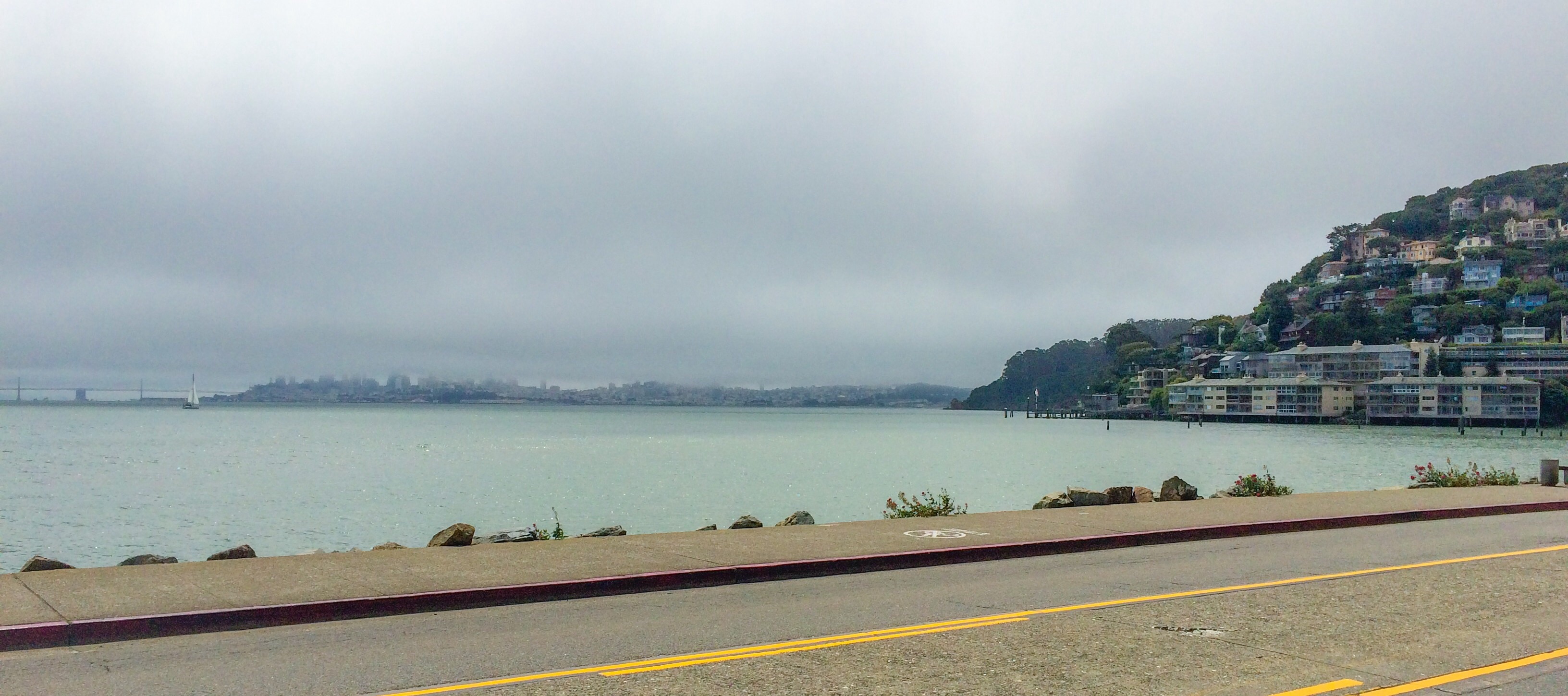
San Francisco Bay Area
FC-01x Future Cities (1st Run) - Exercise 1 : "Making the Invisible - Visible"

Uploaded on 2015-06-01 by Mina_K
This is the view of San Francisco Bay from Sausalito in Marin county. What we can see is: 1. A foggy San Francisco downtown(not an uncommon thing); 2. Oakland bay bridge; 3. The San Francisco Bay; 4. Part of the green agglomerate of Sausalito; 5. An empty paved road. Invisible information: 1. The SF skyscrapers covered by fog; 2. The famous Golden Gate Bridge; 3. Picture contains NO-humans. This photo was taken during working days when the weather was cloudy and foggy. Sausalito is located at the north end of the Golden Gate Bridge, therefore it receives a steady stream of visitors via the bridge ( car and bicycle traffic) and ferry service from San Francisco, especially during the weekends. Human fluxes are unstable ( sometimes a spot is desert and sometimes is crowded). For wise urban planning we have to analyze data, extract trends and forecast models which will allow architects to predict when, where, how, and how many individuals will use certain place in the city. [1]: https://edxuploads.s3.amazonaws.com/14331233526854068.jpg