Making the invisible, visible: view from a plane
FC-01x Future Cities (1st Run) - Exercise 1 : "Making the Invisible - Visible"

Uploaded on 2015-05-06 by perrauds
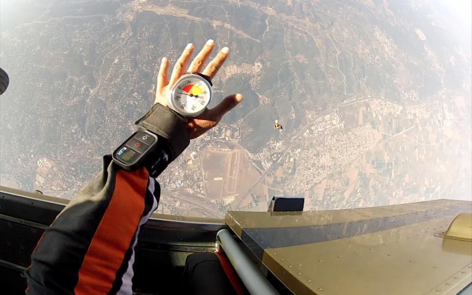
The visible information is at two levels. The first one is in the air, we can see the altitude of the plane and its color, for exemple, as well as the clouds and the sun. The second one is on the ground, and composed of territorial information: roads, towns, fields, repartition between urban and rural areas, water, etc. The invisible information that can be extracted from this visible info: In the air, from the above info as well as the measure of air pressure and pollution, we could predict the weather. On the ground, the geographical info plus the density of inhabitants and movements of people could help us with urban and territorial planning. Last, at a biological level, the heartbeat of the skydiver (me) as well as her adrenaline levels of all should help us provide some health predictions for her. [1]: https://edxuploads.s3.amazonaws.com/14308995581284331.jpg