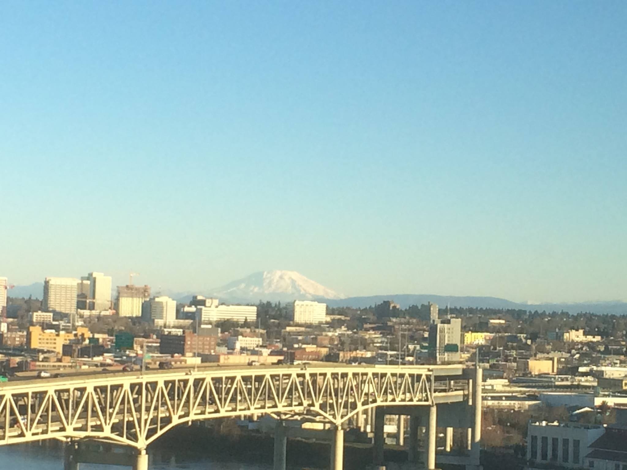
Portland, OR - bridges, rivers, mountains,
FC-01x Future Cities (1st Run) - Exercise 1 : "Making the Invisible - Visible"

Uploaded on 2015-04-23 by jessicalong
![Portland, Oregon][1] [1]: https://fbcdn-sphotos-a-a.akamaihd.net/hphotos-ak-xfa1/t31.0-8/10887085_10201972474152189_7058723507936525908_o.jpg From this photo you can tell that Portland is shaped by natural structures like mountains and rivers, as well as forests or heavily wooded areas. The larger buildings have a fairly uniform, square shape. You can see cars, a bridge, buildings, powerlines and other infrastructure and you can guess at what building materials are used as well. What you cannot see (the invisible information) is the people, animals, and resources that are moving through the city. You can also not see the flow of time and how the information changes over time. By knowing how the number of cars on this bridge in this picture is different than at midnight, for example, you may be able to decide when a good time would be to do construction on the bridge. Or by knowing which direction traffic is heaviest at certain times of day going from the city center (which is out of frame) across the bridge, you could determine whether better public transportation or traffic regulation was needed and when.