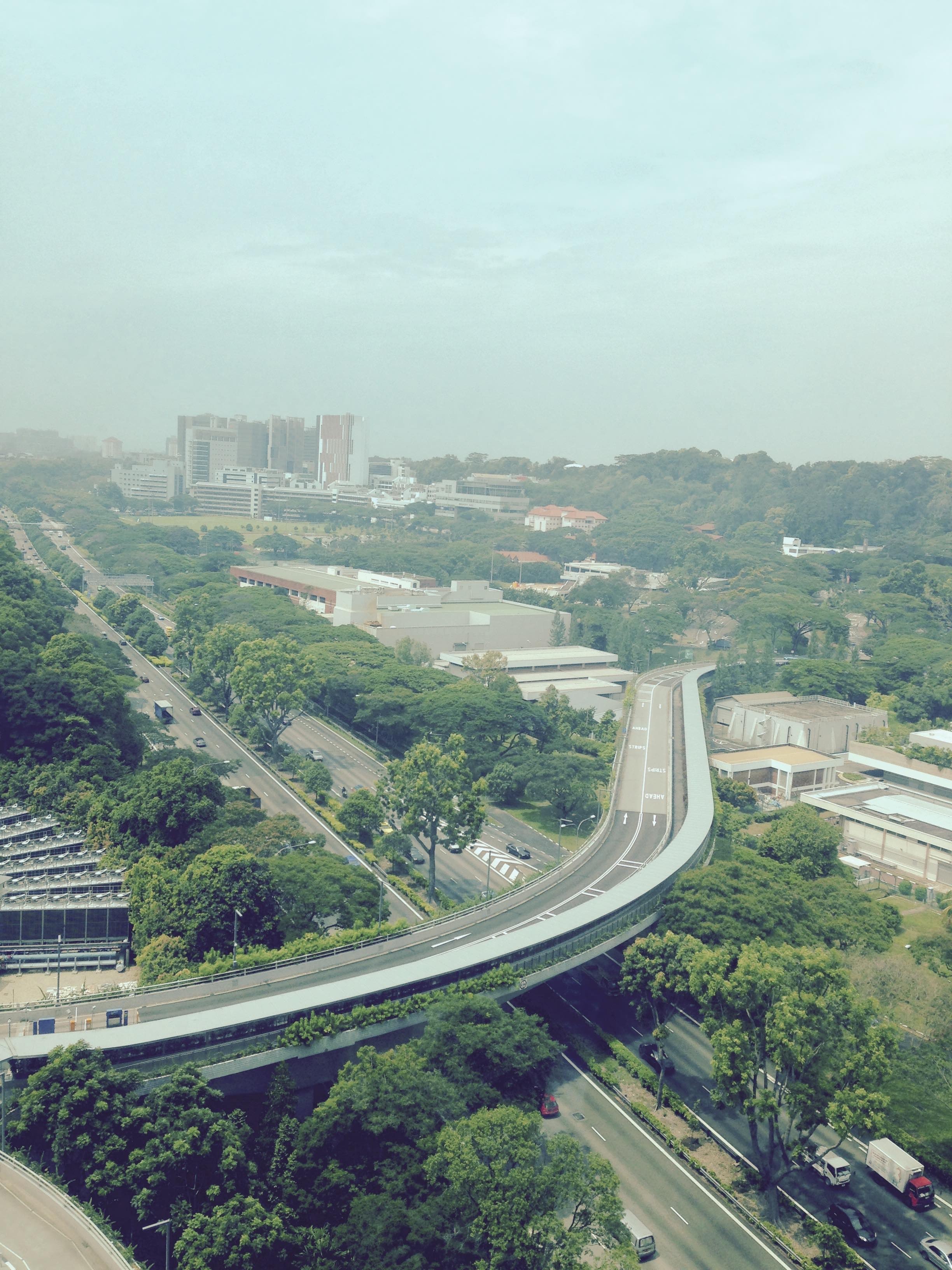
National University of Singapore
FC-01x Future Cities (1st Run) - Exercise 1 : "Making the Invisible - Visible"

Uploaded on 2015-06-15 by BenayaChristo
This picture shows the National University of Singapore. Visible in this image are information regarding the usual traffic along the highway between the main campus and the University Town compound on a normal weekday, the typical weather (the glass window was tinted which made this picture appear hazy), the vegetation and the profile of the landscape. The picture also shows the relatively lower buildings of NUS on the foreground contrasted with the much taller buildings of the National University Hospital and high-rise apartments behind. Two 'invisible information' present in this image is the learning and exchange of information that takes place within the university, and also the number of people moving in and out of the complex (whether hourly, daily or over a few years). The learning, exchange of and creation of knowledge that takes place inside the university can be useful to urban planners if it can be quantified. It may help planners to understand the external benefits of the university to the neighbouring areas and also the flow of information in and out of the university. [1]: https://edxuploads.s3.amazonaws.com/14343849871386907.jpg