Making The Invisible - Visible : Malioboro - Yogyakarta - Indonesia
FC-01x Future Cities (1st Run) - Exercise 1 : "Making the Invisible - Visible"
Uploaded on 2015-05-05 by rezonkevin
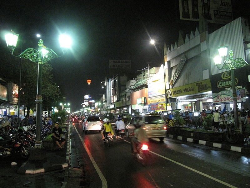
Image extracted from : http://upload.wikimedia.org/wikipedia/commons/8/8f/Jalan_Malioboro_001.JPG Visible information: This is a view of Malioboro Street in Yogyakarta, Indonesia. The picture shows a line of shops, vehicles, and pedestrians walking (and sitting). Invisible Information: From the picture we can extract information of : 1). Traffic density and Pedestrian pattern behavior for different time of day and different time of year 2). People activity pattern and density in the area for different time of day, month, and year. Plan for more livable urban space: From the information, we can make certain strategy to help relieve the high traffic density and pedestrian pattern behaviour that connected with the area being a crowded commerce district in several times of the day, month, and year. [1]: https://edxuploads.s3.amazonaws.com/14307987604250024.jpg