Uploaded on 2015-05-01 by AngelaOs
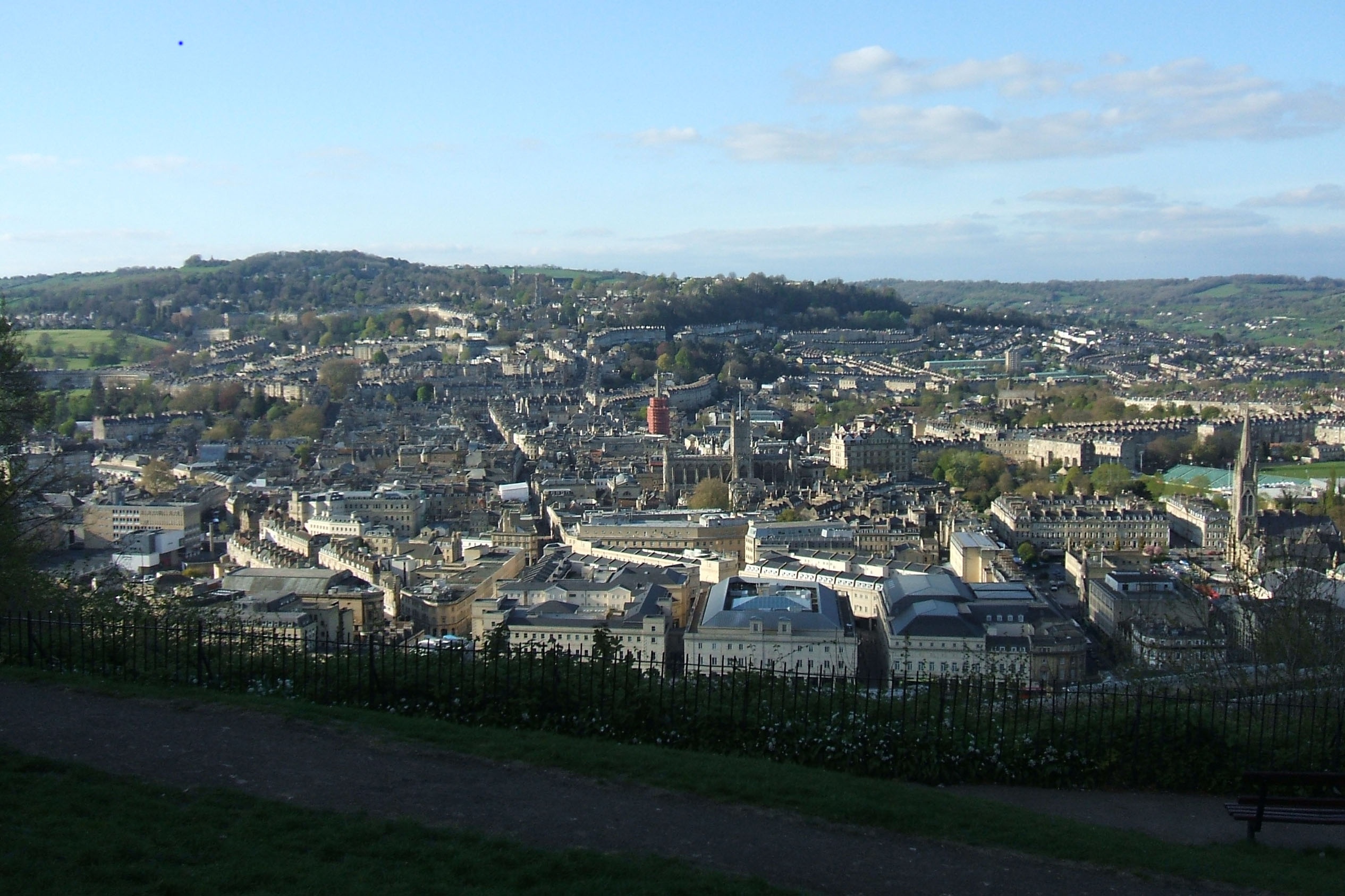
[1]: https://edxuploads.s3.amazonaws.com/14305018344601094.jpg Bath - UK 1. What is visible – patterns of streets, buildings, green spaces - topography and topology – roads, rail, canal and river. Shopping Mall, main heavy traffic routes 2. Two "invisible information" that can be extracted out of the visible information of this photo. a. Activity levels in the city at different times and spaces – what are the centers and do they, or how do the concentrations and density of population change during the course of the day and night. Are there regular patterns or erratic – if regular what is the cycle – or cycles – hourly, daily, weekly, throughout the year b. Patterns of travel behavior into, out of and within the city – again in terms of time and space. 3. Patterns of travel behavior is an interesting selection – partly because of the nature of the city – it is historic, and has strict controls over access to the historic center – partly to protect the fabric of the city, partly because of crowded people – tourists, and partly because of pollution – being in a valley, in certain conditions air quality can rapidly deteriorate. We also know that a large proportion of people who work in the city travel in each day from a wide area. There are a lot of schools in the city also serving a wide area, and there are 2 universities, at opposite sides of the city, and therefore a huge student travel impact. It is increasingly possible to track and gather data on travel patterns, and if this was effectively analyzed and understood it could feed into better design of how the city functions – for instance it may be that early morning gridlock on the roads could be eased by staggering school start times – even 15 minutes could have a large impact – also understanding the different ways people use different modes of transport may lead to better targeted public transport routes and timetables to reduce the number of car journeys – one recent scheme is the city cycle scheme, where bikes can be hired, picked up and returned at any one of a number of points across the city, with the aim of reducing the number of shorter car journeys across the city. These kinds of uses of travel pattern information could have significant impacts on work and school patterns, as well as reducing traffic, improving transport flows, and improving air quality - and inform the way the city organizes start and end of day peak times to maintain flows and increase transport and citizens efficient use of time and space. Benefitting all parties and making the city a more pleasant environment for residents, businesses, workers, students and visitors.