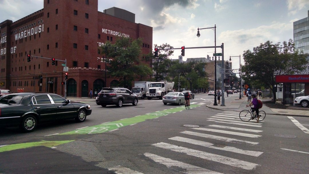
Exercise 1: Making the invisible - visible, Cambridge MA
FC-01x Future Cities (1st Run) - Exercise 1 : "Making the Invisible - Visible"

Uploaded on 2015-06-30 by david733
Visible information in this photograph of an intersection in Cambridge, MA: Presence of cars, bicyclists, pedestrians. Street lights, signal lights, walk signals, street names, traffic rules on signs (no turn on red). Marked bike lanes, crosswalks, and lane markings. Railroad crossing with lights. Building facades with signage indicating businesses. Invisible information: Counts of cars traveling through intersection (detected using inductive sensors embedded in the asphalt of the road), number of people in each building. By making this invisible information visible, we can detect when and where flows are heaviest, and alter signal times or change street design to relieve congestion or prioritize some flows of traffic. Ultimately this could reduce travel times, air pollution, or traffic accidents. [1]: https://edxuploads.s3.amazonaws.com/14356983206880646.jpg