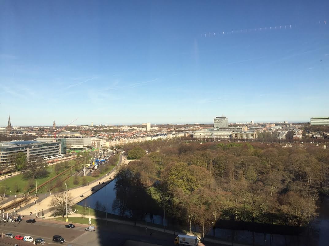
South-West The Hague, The Netherlands
FC-01x Future Cities (1st Run) - Exercise 1 : "Making the Invisible - Visible"

Uploaded on 2015-04-21 by jonathanvangeuns
[1]: https://edxuploads.s3.amazonaws.com/14296033789507442.jpg This picture is taken from my office, above the Central train station in The Hague, The Netherlands. The city combines old and new architecture, high-class and affordable, public, private and corporate, national and international, and so on. This picture shows the Zuiderpark with the diplomatic center at the background. However, there is much more than meets the eye, such as the people commuting daily to the center of the city for work, the underground parking underneath the Zuiderpark, public transportation (busses, trams, metro's, trains), people travelling by car (carpooling or using Uber), or just people walking or biking. Collecting, analyzing and visualizing such data could contribute to making the city more accessible and transparent, by for instance, demonstrating where and when most people commute. By monitoring this, we can depict hot spots and take away much of the frustration caused by overcrowded times and places.