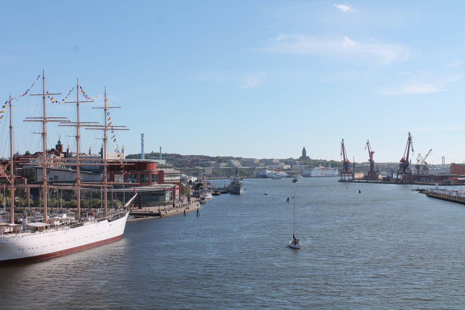
Making invisible visible - Gothenburg, Sweden
FC-01x Future Cities (1st Run) - Exercise 1 : "Making the Invisible - Visible"

Uploaded on 2015-06-12 by PetraPalusova
[1]: http://oi60.tinypic.com/2m2svb4.jpg This panoramic view belongs to Gothenburg city in Sweden. Gothenburg is the second largest city in Sweden situated on the west coast of the country with the largest port in the Nordic countries. We can classify it as a global city. A characteristics of Gothenburg is that it has been built according to several distinct plans. 1) Visible information which can be seen in this picture: - the coastal character of this city which is seen immediately considering several factors – ships, marine cranes, large water surface, marine industrial character - scale of the city while looking at extensity of water surface between urbanized city parts - on the right side, the architectural shape and urban density have growing tendencies Area on the picture is situated in the central zone of the city. The urban structure of large Swedish cities, which got major importance while being trading route, is usually composed as a cluster on the coast and several islands around connected between each other by infrastructure. In the past the city core used to ‘sit’ on the coast while being fortificated all around its extent. Nowadays, Gothenburg is growing fast – the number of inhabitants in year 2020 is estimated to grow to 1.5 million in the metropolitan area (from almost 974 000 now) 2) Therefore, we have some invisible information to extract: - There is a need for extension of capacity of space – this part of port (left side of picture) is going to be moved to the Northern part of the city (the view is oriented to the South-West) and the city centre will expand to this coast - project planned until 2040. The position of the city centre is an indicator of the direction to which the city will grow - Another invisible information is that apart from the need for space, there will be need for more frequent transportation between coasts. The left side of the picture shows the island Hisingen which is connected to the rest of the city by bridge. Now, when we consider the character of the left-side coast as industrial and with less usable public spaces, the connection between the island and rest of the city is concentrated into few lines – mainly two bridges and few routes of ship public transportation. With the new centre part need for more spread transportation and exchange between those two zones will grow 3) The character of certain city parts is going to be converted into other functions, for example from industrial and transport to polyfunctional, residential and recreational. It is very important to include people who live in the city, mainly who live close to mentioned areas to take a part on creating a vision of future public spaces and their character and structure. This kind of cooperation could increase liveability in this part of the city and support the unique converted character (as well as the character of rest of the city).