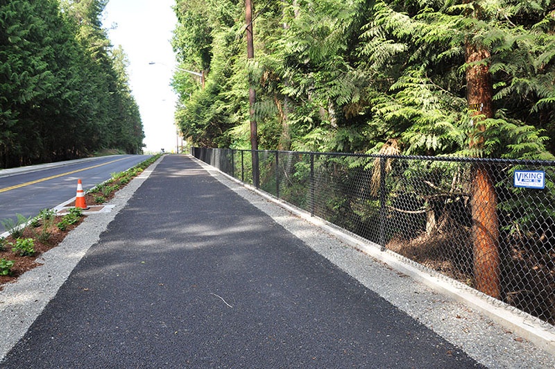
Poulsbo, WA pedestrian path
FC-01x Future Cities (1st Run) - Exercise 1 : "Making the Invisible - Visible"

Uploaded on 2015-06-16 by zawanushari
[1]: https://edxuploads.s3.amazonaws.com/1434413396657865.jpg (1) This is a wide pedestrian walking path, located just after a traffic roundabout. It is located in Poulsbo, a town in Washington State, USA. Some elements considered as visible information can be seen. There is intermittent black fencing on the edge of the path to separate the forest where there is a steep depth. There is some short plantation on the side facing the street. The long trees provide shading. Street lamps line the path. (2) One piece of invisible information here is pedestrian safety. It is assumed that the path would lead to greater pedestrian safety as its large width reduces the proximity between people and vehicles driving down the road. Also, the planted strip and the red cone contribute to the visibility of the pedestrian path to drivers. The second piece of invisible information is the level of activity - pedestrian, cycling - throughout the day. Data would provide patterns of activity on the path, which can be compared with other sidewalks to see differences and similarities in level of activity. (3) The data of pedestrian accidents (invisible information) could be transformed into knowledge about pedestrian safety. By understanding the safety levels of pedestrians using such a path, city planners can informedly construct similar paths throughout the town of Poulsbo. The urban space would become more liveable by becoming safer and leading to an increase in lifestyle-enhancing activities.