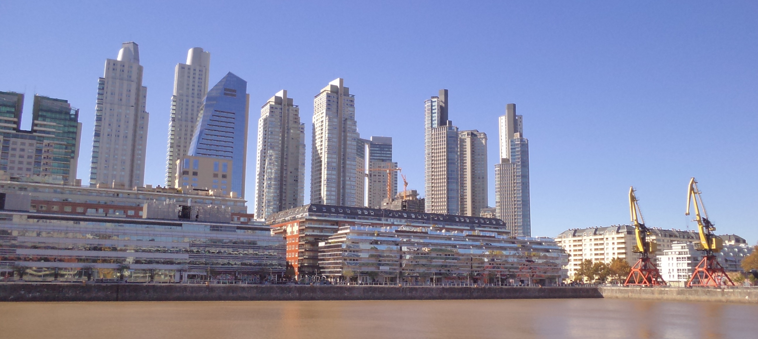
Exercise 1: Making the Invisible - Visible: Puerto Madero, Buenos Aires, Argentina
FC-01x Future Cities (1st Run) - Exercise 1 : "Making the Invisible - Visible"

Uploaded on 2015-05-03 by ierosas
[1]: https://edxuploads.s3.amazonaws.com/1430690449651615.jpg It is visible: • Empty water dock, • New residential building near the dock, • Behind we can see new tallest building, in which some of them seems to be to office purpose because of the use of glass • It is constructing a new building in the middle of others. Invisible information: • The orientations of residential building are not too favorable to the sunlight use. They prioritized the dock view. • The tallest buildings were constructed after the residential building and now the first seems to have problem of shadow. • There are problem of congestion during rush hours because of the high use of cars and the narrow and few bridge that connect the neighborhood with the rest of the city. • Behind the building there is still La Plata river and the ecological reserve. How this invisible information can become knowledge and contribute to the planning of a more liveable urban space: • There are problem of congestion during rush hours because of the high use of cars and the narrow and few bridge that connect the neighborhood with the rest of the city (The knowledge of how many building and how much dense the district could be is essential to planning the connection of the neighborhood and the priority of the means of transport). I had taken the photo. Goodbye, Ignacio