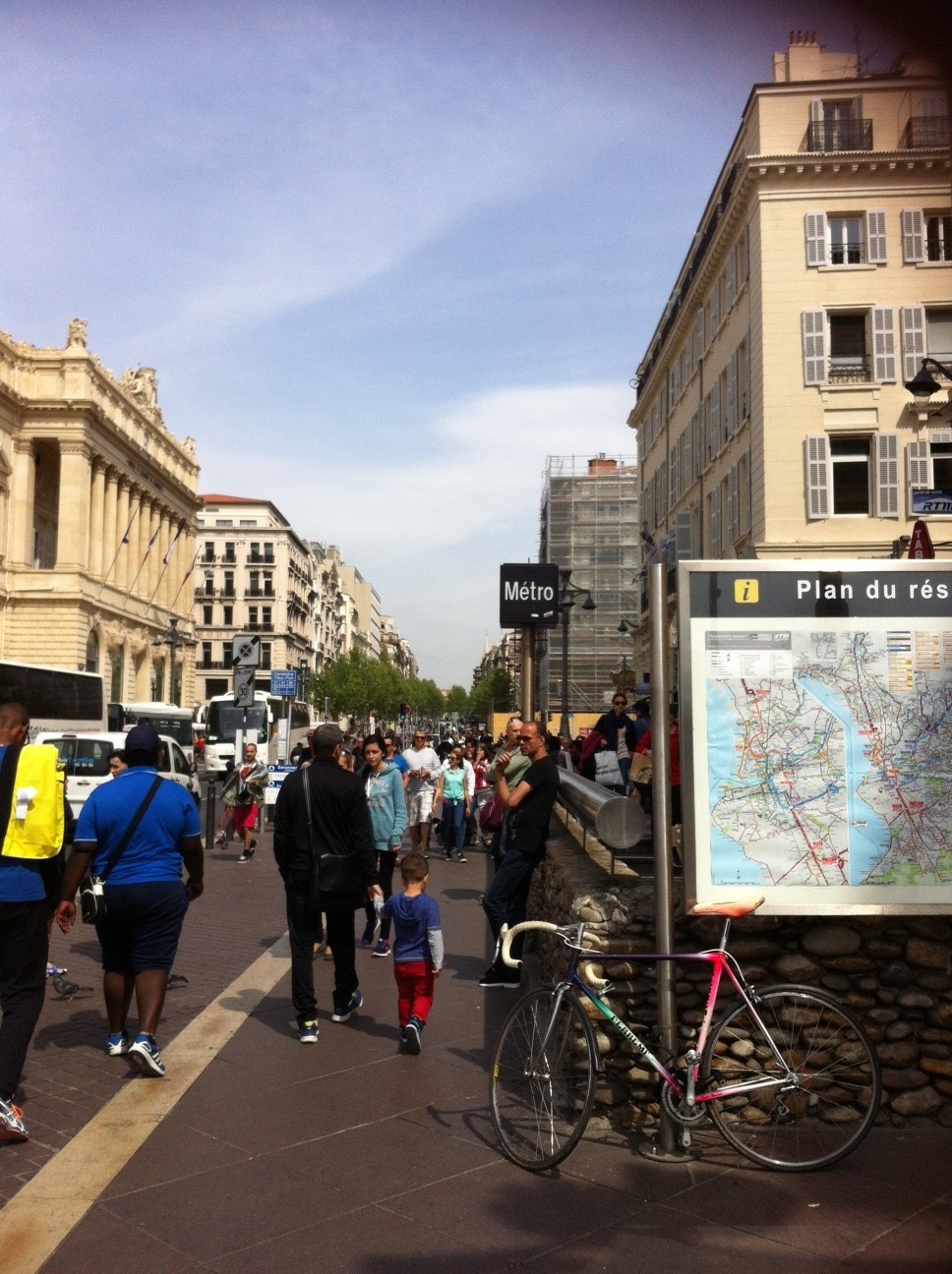
Marseille, France
FC-01x Future Cities (1st Run) - Exercise 1 : "Making the Invisible - Visible"

Uploaded on 2015-04-19 by CandiceLT
1 - This picture shows a lot of visible information. People are walking in the street on the sidewalk, which is wide and shows that urban planning decisions were made in a way that gives space, importance and attention to inhabitants willing to walk. We can also see the metro station as well as buses testifying of local authorities' efforts to implement a multimodal public transportation network. Moreover there is a map of the transport network on the front, which facilitates inhabitants' trips. We can also think that this is a green city as we observe trees in the picture background. 2 - Invisible information: The buildings are whether commercial or offices. This is thus a business and commercial area. There is also a bicycle which is not well parked. People we see can also be tourists as this is a tourist place in Marseille. 3 - Knowledge: From the bicyle, we can use this information to contribute to the planning of a more liveable urban space. Indeed, this means that inhabitants are willing to take their bicyle but can not find a proper place to park it. This is all the more relevant as it is near the metro station and shows that this person might have come from her place to take the metro and go somewhere else in the city. Urban planning decisions could be then focused on not only the dedication to places for them to park their bicyles but also on cycle lanes in the street that would facilitate and encourage the use of non motorized means of transport. This would also reduce traffic and have positive consequences on inhabitants' health. ][2] [1]: https://edxuploads.s3.amazonaws.com/14294618453198811.jpg [2]: https://edxuploads.s3.amazonaws.com/14294595288497539.jpg