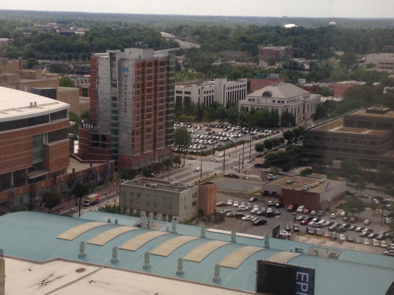
Charlotte, North Carolina, USA
FC-01x Future Cities (1st Run) - Exercise 1 : "Making the Invisible - Visible"

Uploaded on 2015-06-08 by Wpeters
[1]: https://edxuploads.s3.amazonaws.com/14337275628152461.jpg I've uploaded a photo from the Center City area of Charlotte, NC. This is a mixed use development area with predominantly office developments, convention centers, hotels, restaurants and residential. Two invisible information that I have extracted out of the visible information of this photo are based around the amount of parking lots and the newly planted trees included in the urban landscape. The one choice from my previous answer I will address is the large amount of parking lots in the downtown community. This communicates that access for individual vehicle transportation is important. The invisible information is provides for me is that a large amount of habitants of the downtown environment do not actually live downtown. With the lack of retail and commercial centers this parking is largely allocated for office workers. Creating walkable communities with better uses than parking lots with more needed amenities in walking distance creates a closer knit community that can live, work and play together.