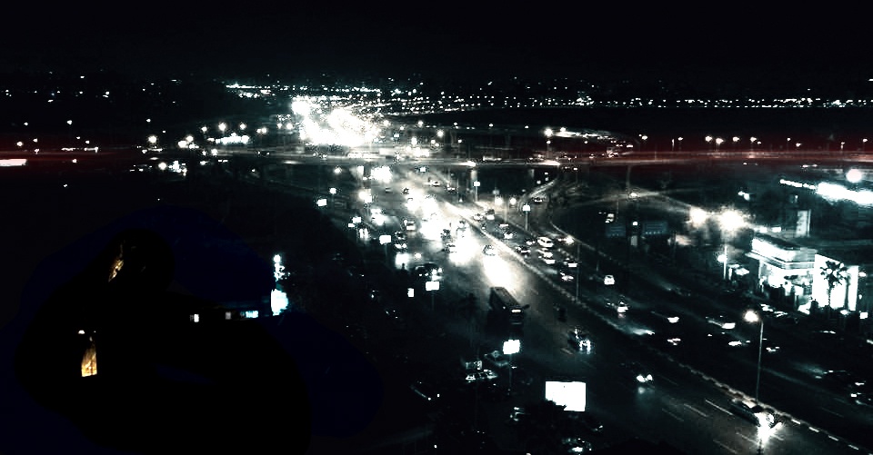
Making the invisible - visible for Heliopolis, Cairo, Egypt
FC-01x Future Cities (1st Run) - Exercise 1 : "Making the Invisible - Visible"

Uploaded on 2015-04-15 by YahyaShaker
This Photo is from the Roof of a 10 Floors Building Height in Sheraton Heliopolis District in Cairo, I Choose to capture it by Night so as to Focus on the vehicles motion that Drops by the Neighborhood, This is a very updated image of how it looks like in the first district facing Cairo Airport, i has been recently developed on the means of Transportation Planning and City Infrastructure management. There "HAD" been an up-ground Metro that links all Districts of Heliopolis and continues towards Ramsis Square. it has been removed as to " widen" the streets in order to be able to carry more private cars; while that specific District shown here is a RESIDENTIAL Neighborhood and 90% of the cars are passing by in order to reach the center of Heliopolis or towards Nasr City. The Visible Here is High Density Cars Coming from that Bright Spot and passing by the Neighborhood, The invisible is that there was a Metro and it was Removed for the Sake of More and More Cars to pass when on the other hand we have 3 bus stations and a micro-buses Pool point at the Main U-Turn !! Here we remove the cheapest and Cleanest Transportation Method " Metro " because it is very old and there is no maintenance and we increase the number of Lanes for more Cars and Pollution to Come. ![Night aerial view for Sheraton Heliopolis District, Heliopolis,Cairo, Egypt - Photo Credit : Yahya Shaker][1] [1]: https://edxuploads.s3.amazonaws.com/14291219301098397.jpg