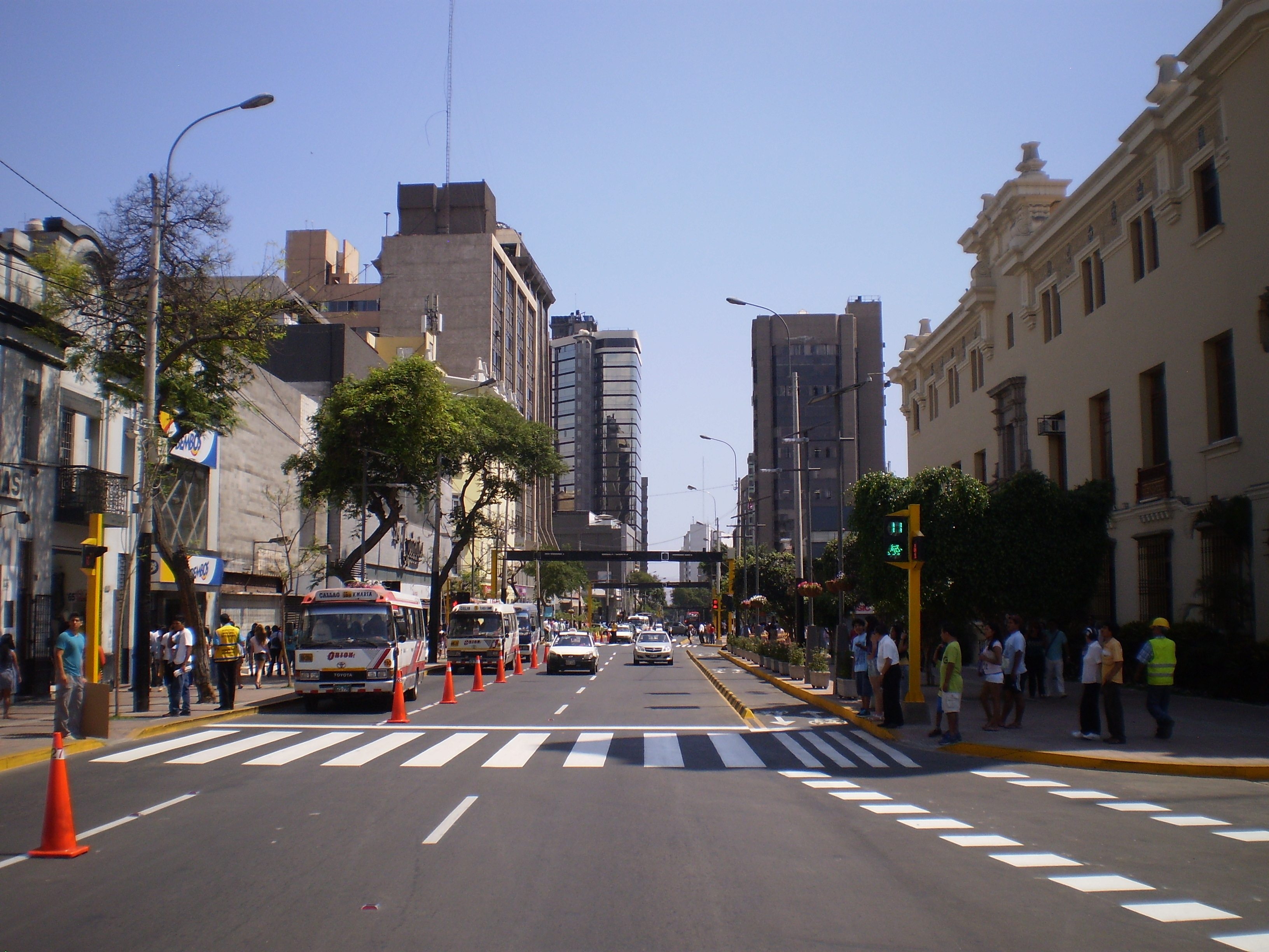
District of Miraflores, Lima, Peru
FC-01x Future Cities (1st Run) - Exercise 1 : "Making the Invisible - Visible"

Uploaded on 2015-04-20 by JohnNeumann
Location: Lima, Peru Visible information: The photograph is taken in the district of Miraflores and shows one of the district’s main arteries (Avenida Larco). The street is lined by a collection of commercial (retail shops, banks, hotels, restaurants and other services), institutional and residential buildings. Public transport (in the form of informal vans in this case) occupies the right lane of the street, while a cycle lane occupies the left side of the street. Buildings varying in height and design, evidence the time of construction. Synchronized traffic lights facilitate traffic flows along the street. Greenery along the sidewalks provides shade for pedestrians. Invisible information: - Data from payment transactions (from the use of credit/debit cards) in commercial establishments (retail shops, restaurants, banks, hotels, etc.) provide evidence of types of uses, time and frequency of use, etc. - Video surveillance cameras may record pedestrian and vehicular travel/traffic patterns. - Data from mobile phones (GPS) may track patterns of movements of people. - Data stored in the district’s municipal building (on the right of the photograph) may contain information related to building permits, ownership of property, business activity, etc. - Data from bank ATM machines may help to understand peaks of use and therefore pedestrian traffic and business activity. - Wifi networks in cafes provide information on peak times of use. - Number of internet connections in the area may provide evidence of urban density. [1]: https://edxuploads.s3.amazonaws.com/1429564661702090.jpg