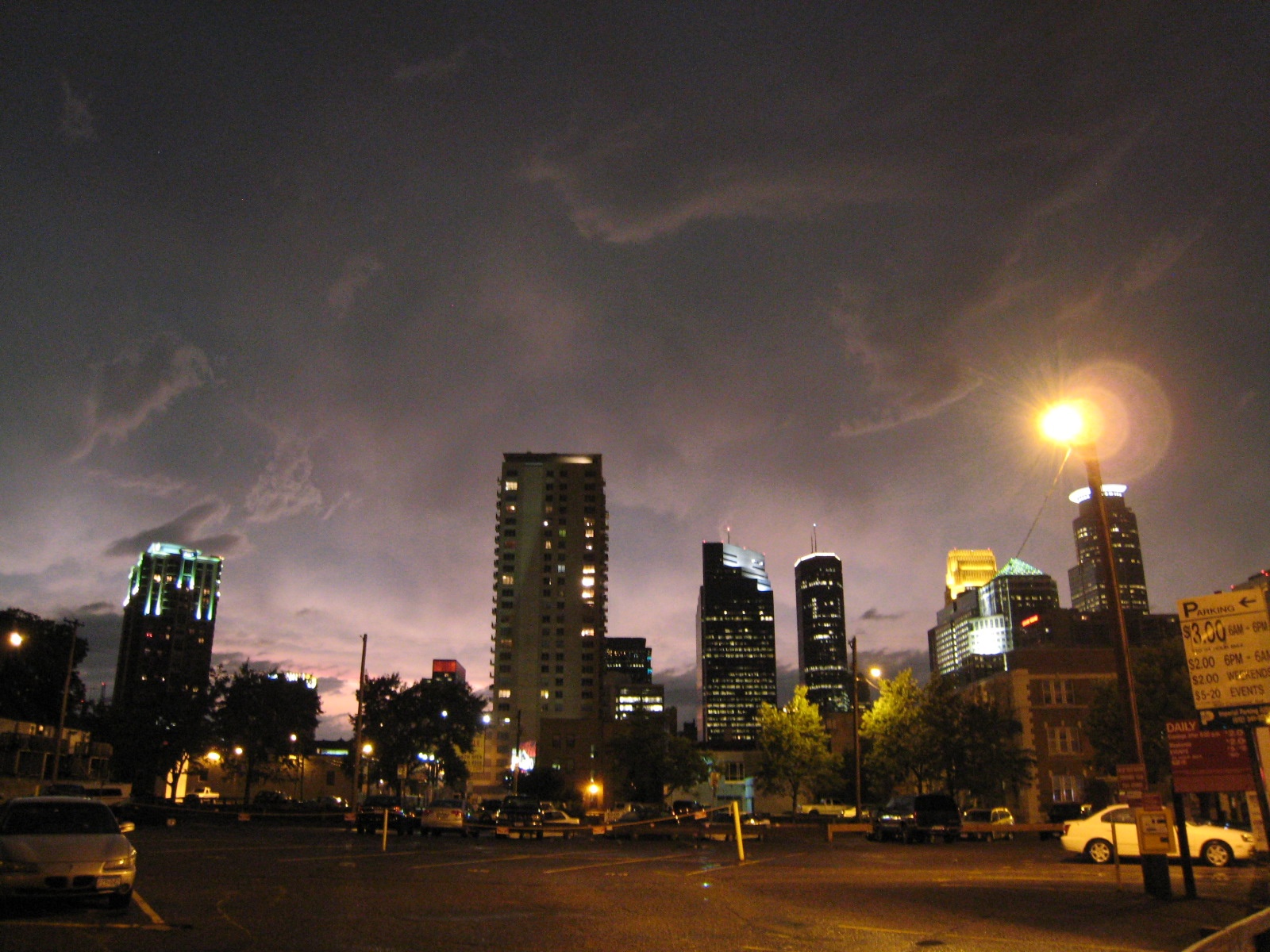
Summer Evening - Minneapolis, MN
FC-01x Future Cities (1st Run) - Exercise 1 : "Making the Invisible - Visible"

Uploaded on 2015-06-09 by jlambvo
[1]: https://edxuploads.s3.amazonaws.com/1433830294942446.jpg Thinking about it, this innocuous parking lot photo contains quite a bit of visible information: - From the contrast sky and artificial light we can obviously infer the general period of the day. - Green trees illuminated by artificial light signal the season within the climate. - Many landmarks are visible in the form of buildings providing a sense of position and facing. - A general sense of real time activity is available via distribution of illuminated windows. - In the foreground we have an under-capacity pay lot with signs providing wayfinding and rules governing the parking system. - A handful of vehicles with unique identifying plates, associated with individuals. There are many potential pieces of invisible information: - Map of pay lot fees and utilization patterns by proximity to points of interest - Positions outside the horizon; wayfinding by landmarks depends on an accurate mental map of the space. The first is interesting as we have a very pedestrian focused downtown. However, most of the population is distributed into surrounding suburbs and relies on personal vehicles. Pay lots charge radically different prices, and the confusion of finding a good lot generates excessive wandering traffic, and acts as a dense membrane to people who don't live immediately in downtown. Invisible information could convey the relationship and pricing of paylots to points of interest, and create a city-wide wayfinding system to route traffic into the optimal pay lots based on the visitor's goals, to both flatten pricing across lots effectively and make the most efficient use of space.