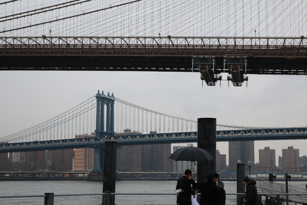
Brooklyn Bridge park, NY - Knowledge from invisible information
FC-01x Future Cities (1st Run) - Exercise 1 : "Making the Invisible - Visible"

Uploaded on 2015-06-10 by AbhijeetShrivastava
This picture was taken on 24th February 2015 at Brooklyn Bridge park, New York. Visible Information: From the top- 1. Brooklyn Bridge 2. Manhattan Bridge 3. NYC East shore skyline 4. FDR Drive 5. East River 6. Wedding couple photo session Invisible Information: 1. Green Landscape of Manhattan 2.The traffic congestion on both the bridges 3. Subway tunnel under the river as public transportation 4. Public inaccessibility to riverfront due to FDR drive. 5. Lights Architecture and Urban infrastructure, gives an image to the city. We can use the invisible information like public inaccessibility to waterfront as a knowledge and learn to design more livable public accessible urban space. Manhattan has become a concrete jungle and people are moving out to Brooklyn, New Jersey to enjoy the recreational waterfront areas. The skyline of manhattan although provides a beautiful backdrop for the photoshoot but the knowledge we gain here is that can we make it more livable by designing its green Landscape. [1]: https://edxuploads.s3.amazonaws.com/14339140411662949.jpg