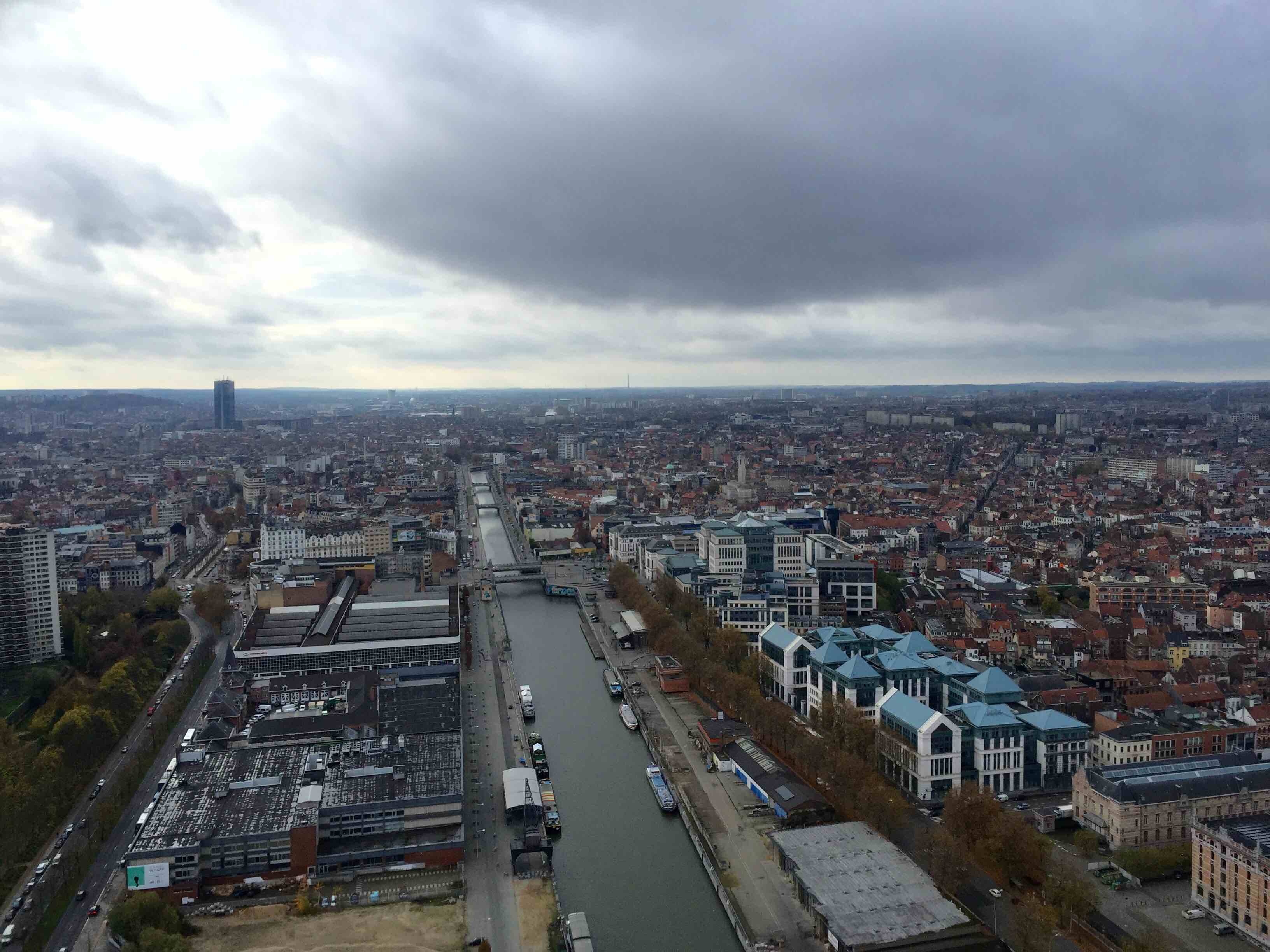
Brussels, Belgium
FC-01x Future Cities (1st Run) - Exercise 1 : "Making the Invisible - Visible"

Uploaded on 2016-04-04 by Pierremdh
[1]: https://edxuploads.s3.amazonaws.com/14597820299586213.jpg I took this photograph from the last level (42th) of the third highest building in Brussels, the « Up-site » tower. This tower was built in 2013 in one of the poorest Brussels neighborhood. First of all, there is a lot of visible information. We can see the usual bad Belgian weather, very cloudy. One can also notice a quite dense populated city with a lot of houses and two prominent higher buildings. The central part of this picture is the well-known Brussels–Charleroi Canal, part of a north-south axis of water transport in Belgium. Now looking at the invisible information, we can mention two quite important elements. First, regarding the Canal Zone, this important zone surrounding the canal was one the most important industrial areas in Belgium. Over the last few years, given the lower and difficult times in the industry sector, it has been a very poor neighborhood with few activities. But over the last few years it became one of the most dynamic areas of the city where private and public actors and civil society negotiate visions on future renewal. Another invisible element is the catastrophic Brussels’ congestion. It is among one of the worst in Europe. This is due to several elements: the system of company cars (50% of new cars are company cars), the fact that people are living far from work, the unattractive alternatives, etc. Belgium and Brussels in particular should definitely work on this issue to make the city more livable. Experts, governments and citizens should work together to find smarter congestion solutions such as improving public transport, review the car companies system and much more. However, multi-modal analysis is important because planning decisions often involve trade-offs between various accessibility factors.