Uploaded on 2014-10-17 by lldomenechamado
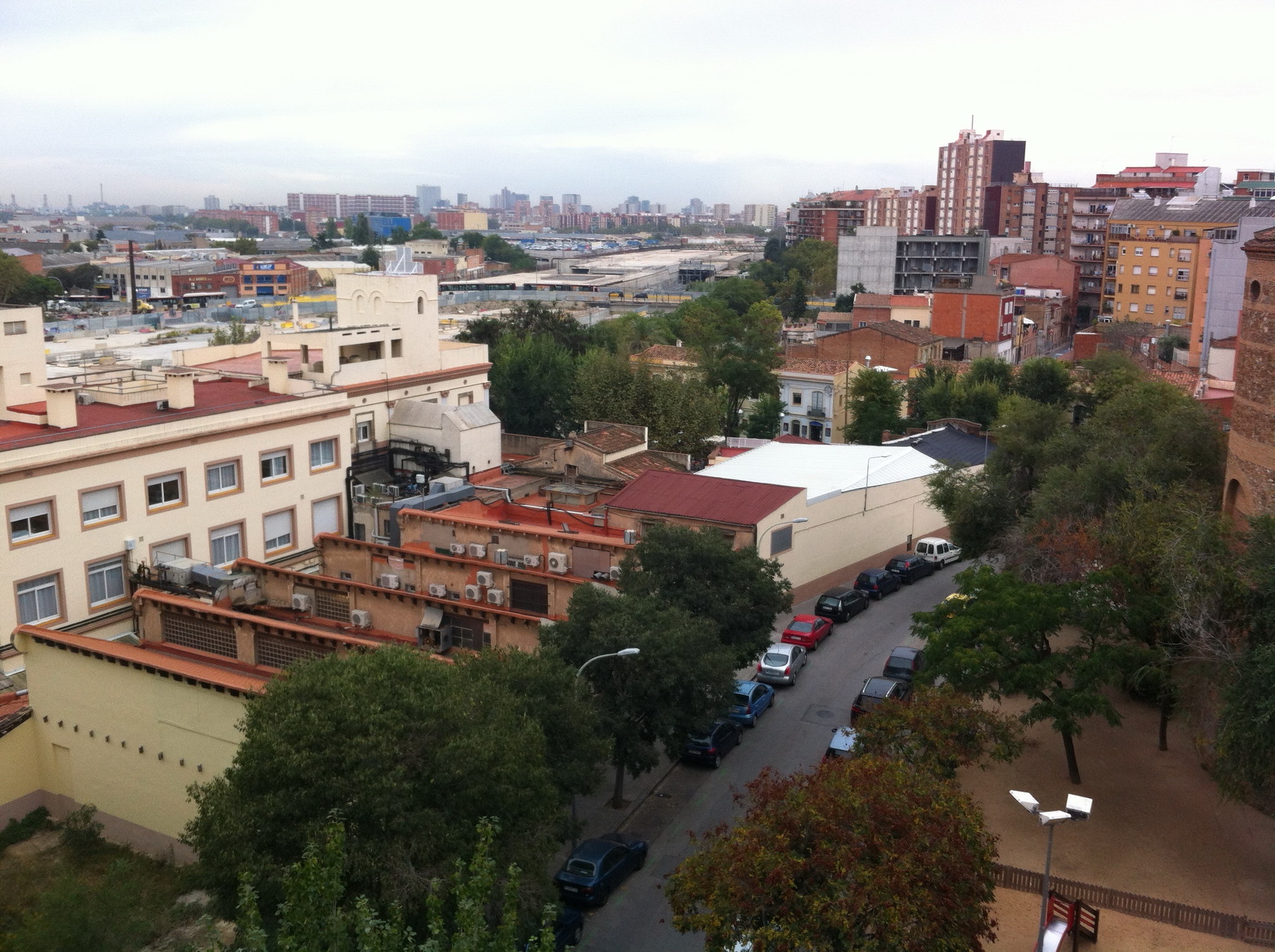
[1]: https://edxuploads.s3.amazonaws.com/14135318159990184.jpg This photo was taken in Barcelona Sant Andreu district, just from my office entrance. It is the future Barcelona, only 2 km far from the (should we jus call it "touristic"?) center. It shows un ugly but promisisng image of the future project we are building there. 1. The first visible information is the health center just in front. Just behind we can see some small two-storey houses related to the oldest train station existing in the city. To the right we perceive the brick absis of the XIXth century church. In the middle we can see a big concrete slab and two buses and a taxi crossing on top of it. Finally we can see to the right and to the left some middle to high rise buildings built between the 50´s and the 70´s to hold the massive immigration from the south of Spain. 2. The first invisble information extracted from visible information could be the functions and their change through time (activities measured with many parameters) of the buildings in this area. The second could be the air condition (frigories) used in the health center in front. 3. From the land use information extracted we could have a map that showed the concentration of activities in the whole area through time in order to plan what kind of activities are needed or could be implemented to have a sustainable area (equilibrium between residence and work, bulding and green, foreigners and locals, etc.).