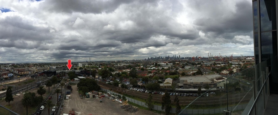
Melbourne's western suburbs
FC-01x Future Cities (1st Run) - Exercise 1 : "Making the Invisible - Visible"

Uploaded on 2014-10-08 by SeanHanrahan
[1]: https://edxuploads.s3.amazonaws.com/1412739003673273.jpg Above is a picture of Melbourne taken from an inner western suburb looking east towards the CBD (the tall buildings in the distance). The invisible information present in this picture that I have identified are the number of people who arrive at the train station (as marked by the red arrow) and where they have come from and the area of public open spaces within the western suburbs. The canopy cover/number of trees and open spaces within the western suburbs is an ongoing issue within Melbourne. Compared to the eastern suburbs there are significantly less trees and open spaces for public use. The invisible information in this photo such as the number of trees, the area of community open spaces and the area of unoccupied land can be used to identify suitable areas for future open spaces. When combined with temperature data (the urban heat island affect is much stronger in the west of Melbourne than the east) this has the potential to identify areas where increased gardens and tree cover can improve the quality of life for the residents. Collecting information relating to tree cover, public open spaces, temperature, vacant land and density of population within the area shown in this photo (and the rest of the western suburbs) and representing this information on a map would provide guidance to government and town planners as to the important areas to target as Melbourne develops.