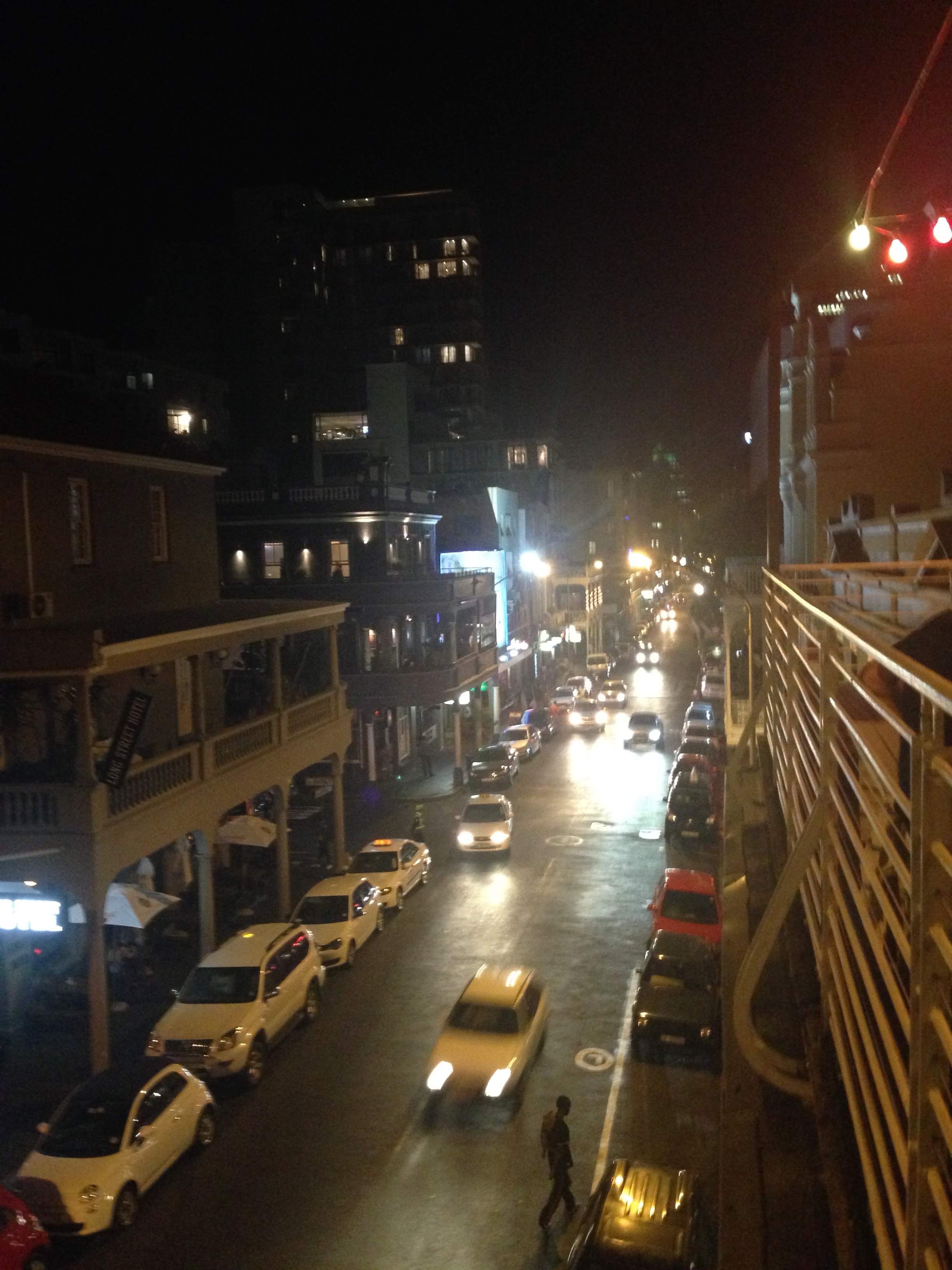
Cape Town, South Africa
FC-01x Future Cities (1st Run) - Exercise 1 : "Making the Invisible - Visible"

Uploaded on 2014-11-26 by Adriaan2
[1]: https://edxuploads.s3.amazonaws.com/14170300478429435.jpg Visible information in this photo include 1. Street addresses of residential and commercial buildings and the available nightlife 2. The physical layout of the city's roads and buildings, and infrastructural location and density 3. Utility availability and provision of municipal services such as electricity and waste water drainage Invisible information that can be extracted from the visible information include: 1. Traffic and commuting patterns 2. Urban density Traffic patterns can be collected, analysed and interpreted to determine optimal road capacity, directional flow, closure, on-street parking, future building construction and plot spacial regulation, installation of infrastructure including electricity and communication cables, piping, and traffic signalling. As a specific example, consider the possibility that traffic data for this stretch of road can lead urban designers to decide to prohibit vehicular access to a section of this road. This can lead to a more walkable city environment that is physically safer and environmentally more sustainable.