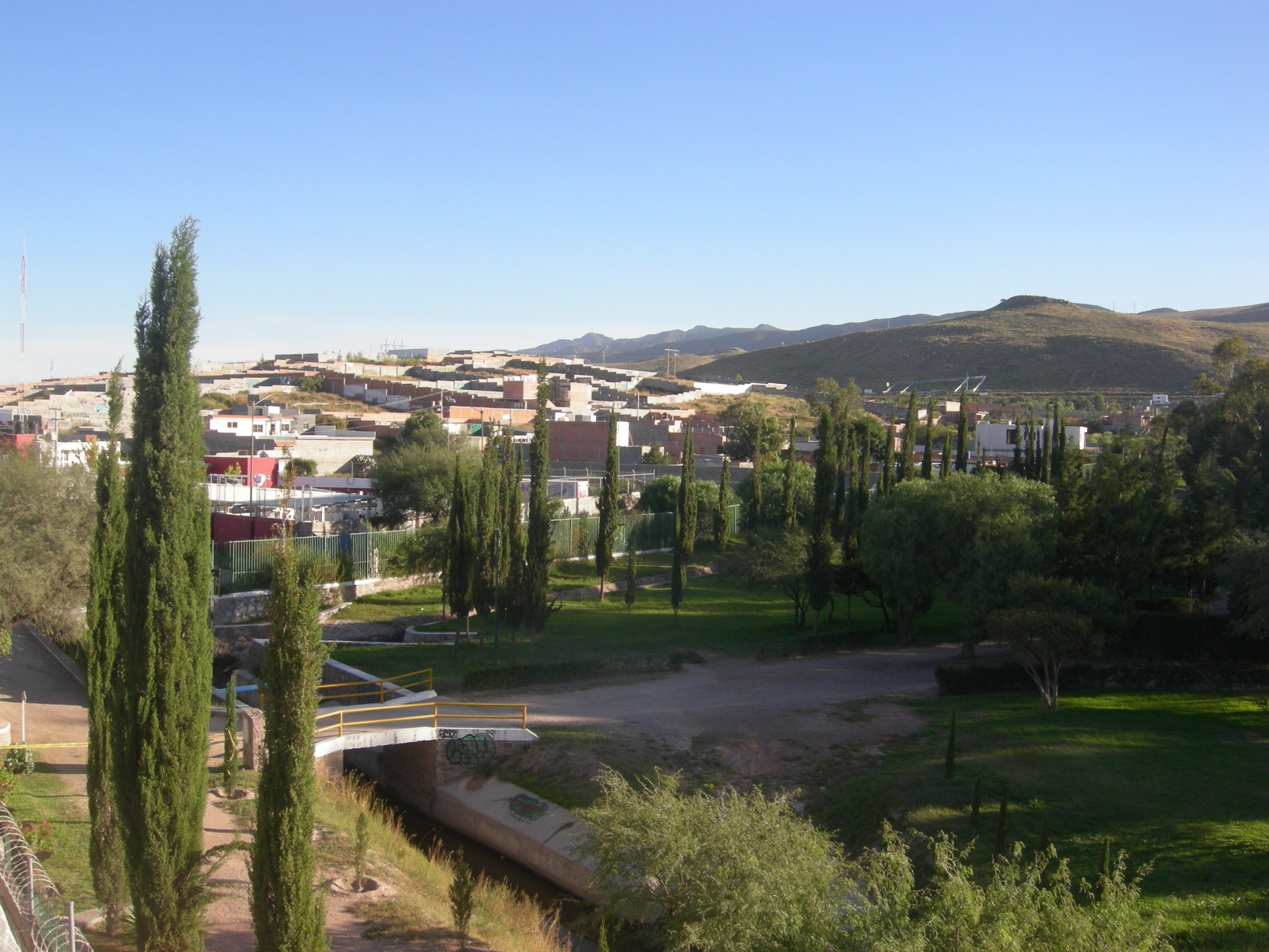
Exercise 1 - Making the Invisible - Visible (Pedasito del Parque)
FC-01x Future Cities (1st Run) - Exercise 1 : "Making the Invisible - Visible"

Uploaded on 2014-10-19 by TWize
[1]: https://edxuploads.s3.amazonaws.com/14136771039490843.jpg **Visible**/Invisible Information **Park**/opening times, number of users, amount of rubbish, air quality and temperature compared to city centre, animal species **Drainage canal**/water treatment plan, water storage, flooding considerations **Ring road (at the foot of the nearest hill), city limits**/state of repair, amount of traffic (including origin and destination) **Empty lots**/ land ownership, land use (residential) **Vegetation on the hills**/recent weather **Shadows**/time of day **Telecoms mast**/ health damage **A more livable urban space:** Rainfall in San Luis depends on the hurricanes hitting the coast and the fallout reaching inland. Short periods of intense rain cause roads to flood within minutes. The streets flood and a huge amount of water pours off of the hills and the park and into the city, this is compounded by large areas of concrete such as parking lots and roads coming down from the hills. The city water comes from dams and reservoirs in the hills, whose water levels often drop significantly during long periods of drought. With a better understanding of water run off routes it would be possible to not only provide better drainage in order to avoid flooding but also better water storage ready for treatment and distribution around the city.