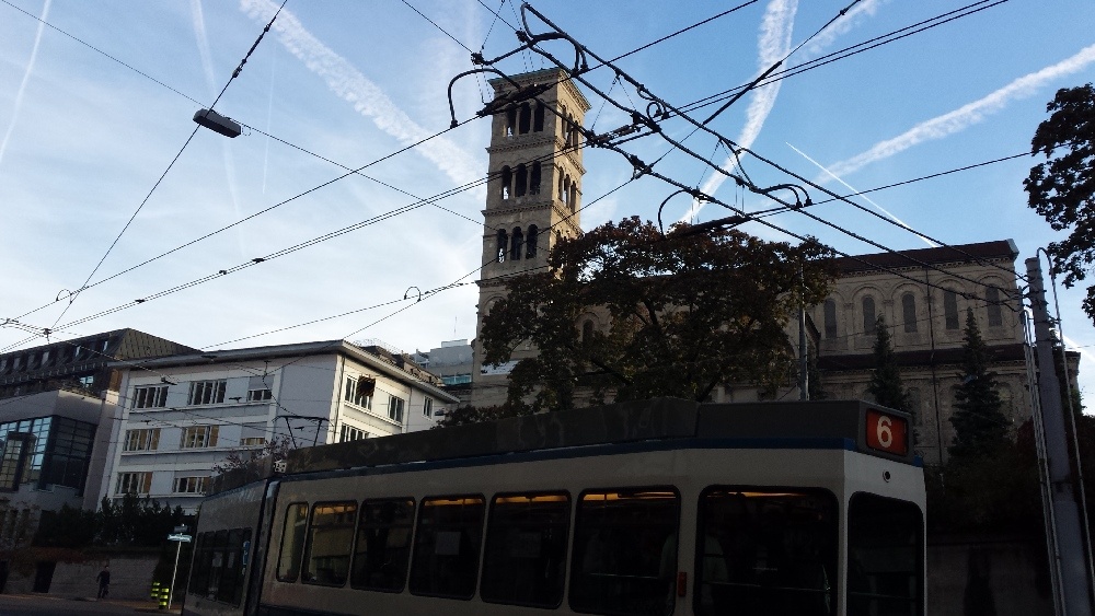
Zurich, Switzerland
FC-01x Future Cities (1st Run) - Exercise 1 : "Making the Invisible - Visible"

Uploaded on 2014-10-10 by cristinak
[1]: https://edxuploads.s3.amazonaws.com/14129725822962385.jpg Hi all Please find attached a picture of a street in Zurich, Switzerland that I took this week on my way to the office. It shows a beautiful autumn morning. On the background of a blue sky crossed by plane exhausting white lines, you can see a church, some university buildings and trees. While I was taking the picture, a tram was just passing by. On top of the street there are electricity lines. I believe there is so much invisible information in form of networks: - the airplane traffic to the Zurich airport; - the public transport in the metropolitan area; - the electricity grid of the region; - the height distribution of the buildings in the city. There are plenty of ways in which these information networks can be turned into actionable knowledge. For example, by plotting travel delays of the public transport lines against geographical and time dimensions, one can identify regions of the city and times of the days that are associated with consistent delays. This information can then be used to plan additional resources for the identified bottlenecks and make commuting in the city smoother.