Visible vs Invisible
FC-01x Future Cities (1st Run) - Exercise 1 : "Making the Invisible - Visible"

Uploaded on 2014-10-23 by alvescosta
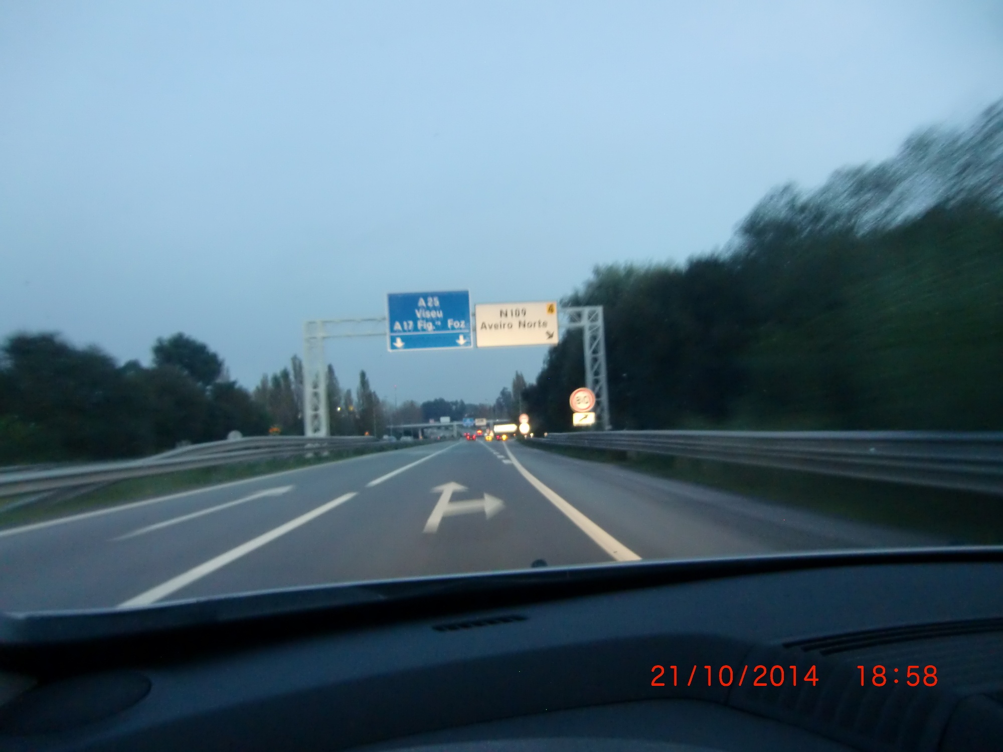
From this photo we can identify the information provided by the free-way signs around the city of Aveiro, Portugal. The sign identify the way out to the northern location of the city “Aveiro Norte”. The free way is used to contour the city with 3 exists (north, centre and west) and also interconnects to another free-ways (A25 and A17). The photo also shows the busy traffic road that runs around the city at the end of the day. **Invisible Information:** From the photo we can forecast the traffic jam and the kind of users for this exit. By understanding the area around (demographics, utilization, accessibility, services) the free-way operator can get more information, and improve the traffic demand. This will help to decrease traffic jams and accidents and improve the information needed to conductors. [1]: https://edxuploads.s3.amazonaws.com/14140593382269207.jpg