Populational study on Belo Horizonte
FC-01x Future Cities (1st Run) - Exercise 1 : "Making the Invisible - Visible"

Uploaded on 2014-10-13 by BrunoSchreiber
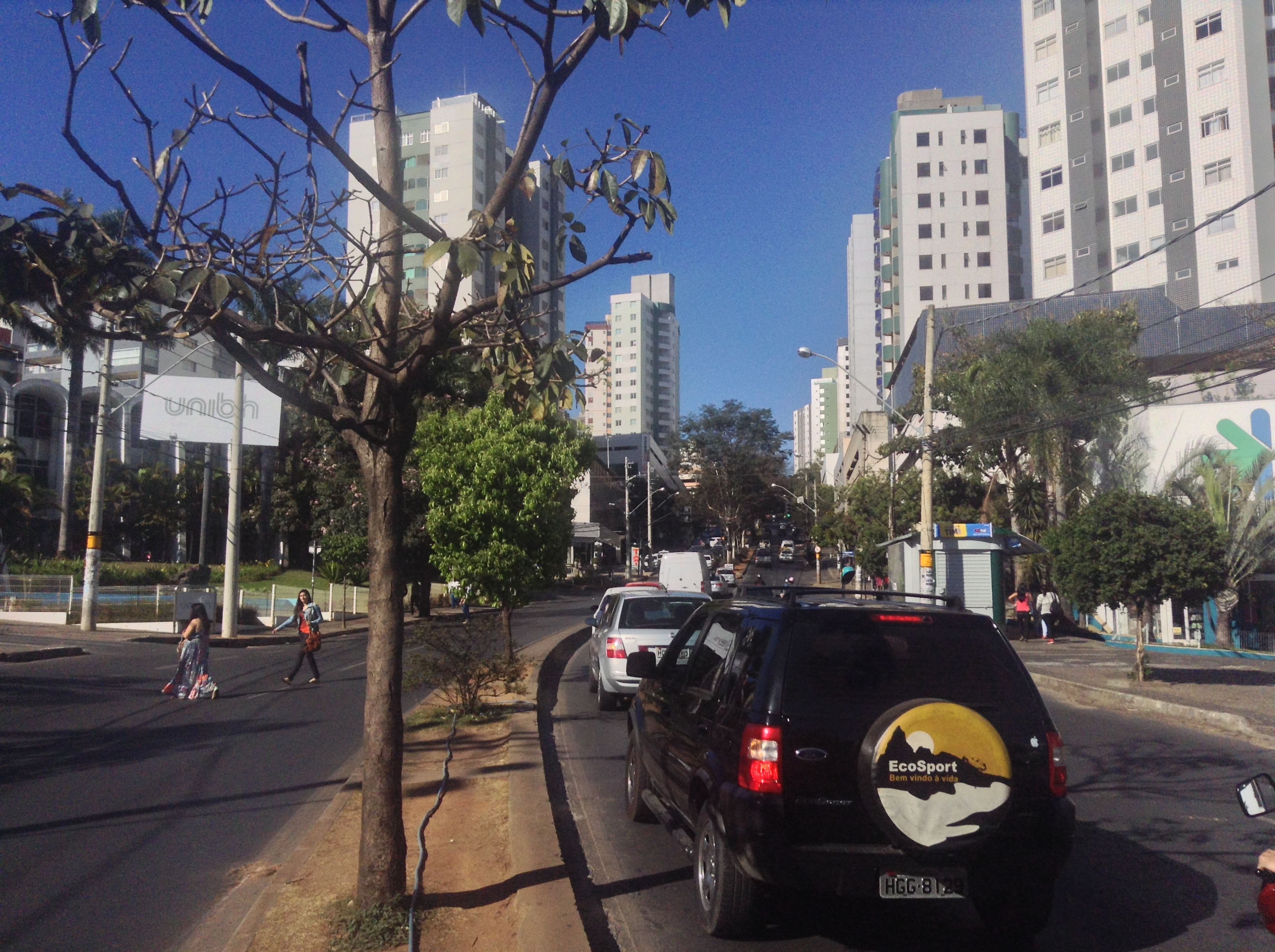
This is the place where I go everyday to study. My college is on the left side of the picture. Well, the visible information are the buildings, the trees, the street. All days, this place looks crowded of cars and it's very annoying (the cars and the buses makes a lot of noise!). The invisible information is about how my city works. If you don't know, Brazil invests the most part of the public money on roads and streets (for cars); in my city (Belo Horizonte) they invests JUST about 10% on other ways to transport the people (metro lines), the others 90% they put on streets, roads and buses. The other invisible information in the picture is about the flow of the cars and people; everyday, we have a flow of 3.000 people moving to my college, and there are about 10.000 families living in the surroundings of the college's campus (if anyone wants, I can show it to you with a map on google! :P ). This invisible information can become knowledge and contribute to the planning, of course, the expansion of the city to this area was unstoppable until the last year; after a lot of studies, the city changed the populational coefficient there (here, this thing says about how many area you can build on a terrain) and, using this information, the government is trying to control the expansion of the city to this area. [1]: https://edxuploads.s3.amazonaws.com/14131737301886187.jpg