Uploaded on 2014-12-09 by Gaiwa
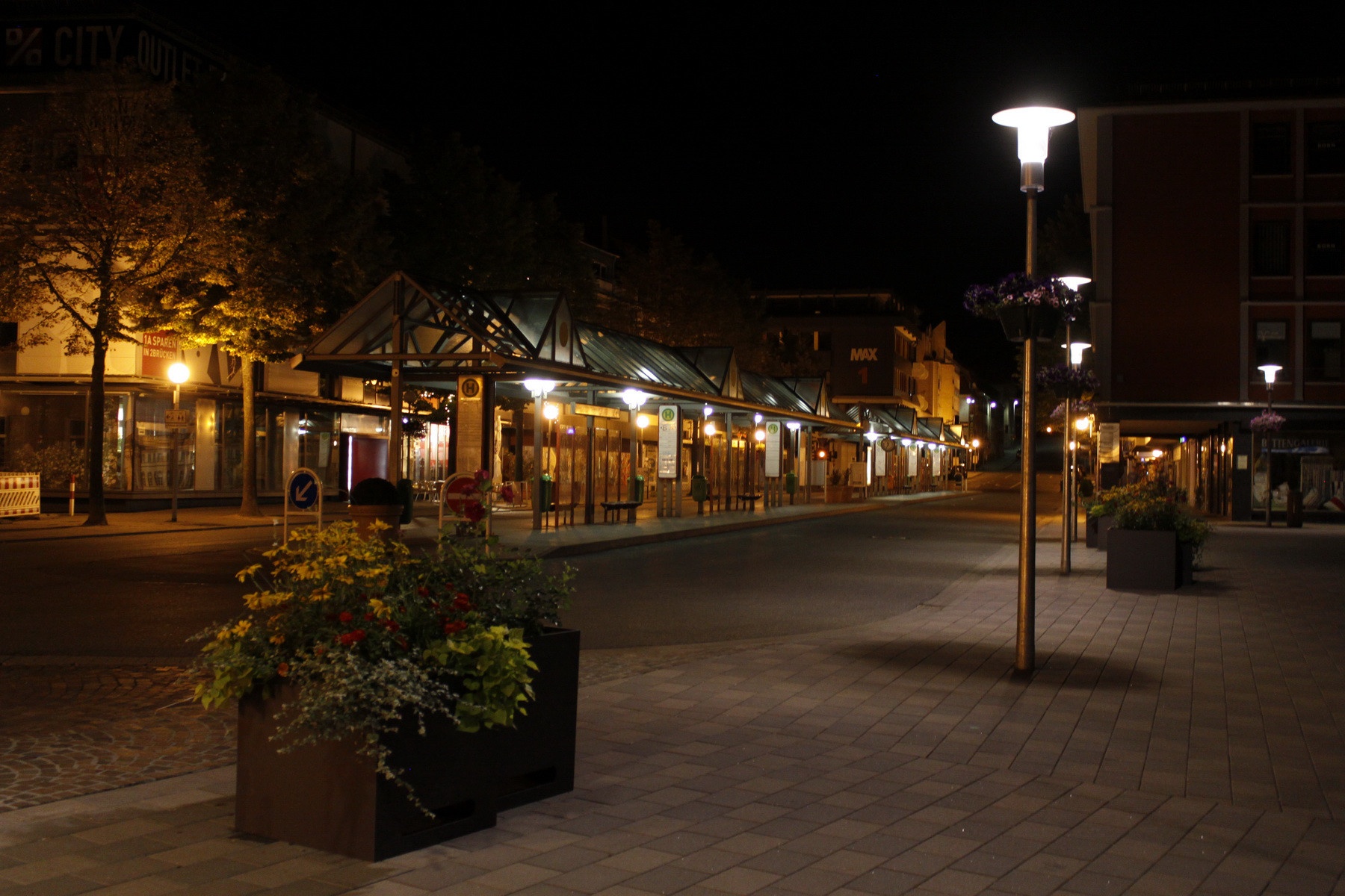
Usually my city is Vienna, but I'm at this German small town at the moment. I think the central bus terminal provides a lot of information, just based on the time tables: What locations/areas are target areas, what are the intervals at what time. Just from looking at these time tables you could make pretty good educated guesses about residential areas and their density, their average age (school buses, yes or no) and industry areas with large employers (target areas that are more frequented "to" at 7-9 AM and 3-5 PM) - there is one line the goes to the local "crane- and construction machine- factory". You can also see that the two major shopping venues are located FAR OUTSIDE the center of the city: There is one line to an outlet center that is placed on the area of a former US airforce base, another one to the biggest mall-like-store, many km outside. A second thing you could notice: This is the central place of the town. The heart of it. This picture was taken by me at 23:00 and the city was already a ghost town, fast food places were closed, nobody was on the street. Well, as I said earlier, I usually live in Vienna, and this had some "Vanilla Sky" feeling - I walked around for 10 minutes, taking pictures, not seeing anybody or even a car. A third piece of information that is not on this picture is the unusually high frequency of hearing aid- and walking frame (ect) stores. On just 400m around this terminal I counted over 6 I think. This could suggest that the average age in this city is above the national average. I was even thinking about doing my own research: Comparing the hearing aid stores in different cities with their age average, and see if there is really a direct correlation. Economically, the city is in a bad place and doesn't offer any jobs to the students of the local technical college (specialized in micro system technology) - so I could assume, that the younger generation really does move away, leading to a higher age average of the staying population - that would also explain, why no youth is seen outside, like in many other cities with colleges. But to point one: Is is really amazing what conclusions you can draw just from looking at these time tables. Looking at the ones for school buses for example also makes clear, that the high schools nearby are the only high schools in a very large area, because students have to travel for a significant amount to get here (they wouldn't sit in a bus for an hour or longer, if there was another one closer to their home). [1]: http://i.imgur.com/nkmoHui.jpg