Uploaded on 2014-11-04 by MerelEnserink
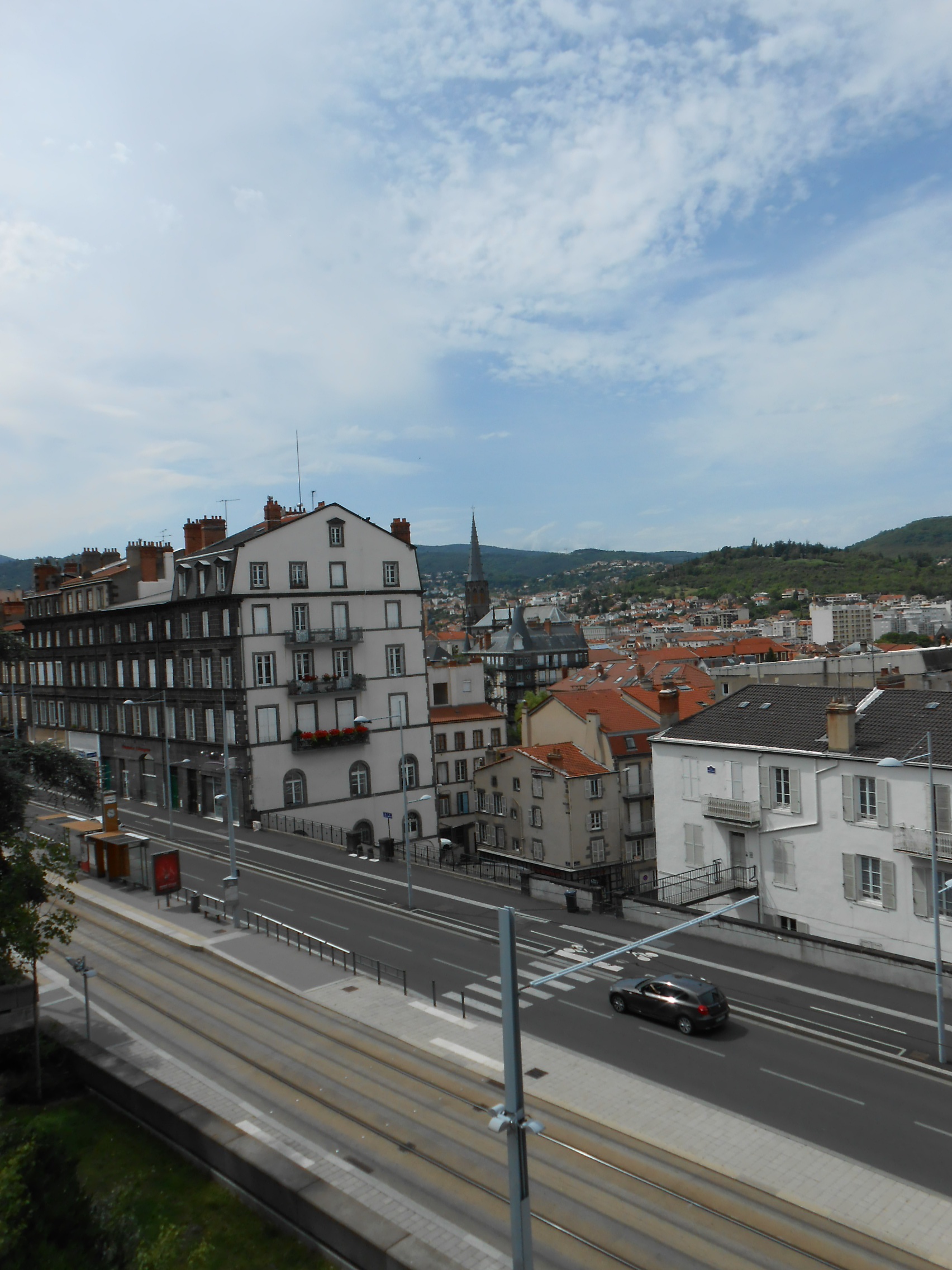
[1]: https://edxuploads.s3.amazonaws.com/14151110205721131.jpg This picture is taken this summer at the edge of the centre of Clermont Ferrand (France). Visible information is first of all the height difference between the centre and the suburbs. This corresponds with the hills surrounding the city (visible in the photo). Secondly there are transportation modes visible. The public transport: trams and busses, and roads for cars, cyclists and pedestrians. Other visible information is the density of the buildings, showing that this photo is indeed taken close to the city centre. And there is a church visible in the picture, giving an idea about religion. In the left corner you can see a small green space, this is the start of the park site where this picture was taken from. Invisible information that can be gathered from this picture is: (1) the public transportation system. This gives information of how people travel, where they go, how often they go, who the users are, relations to facilities, and accessability of the area. A second example of invisble information is related to the church. This indicates the presence of religion in this society which can give insight in peoples believes, insights in the necessary facilities and gives an idea about normal live patterns. To take the first example. Knowing about the transportation system and the information that is behind it can help when it comes to urban development. It can give an impression of what people are using the area for (residential, work, shopping, etc.). Functions are very important when it comes to livable urban space and thereby knowledge of these systems contribute to a good design of the urban space.