Uploaded on 2014-10-21 by InmaBR
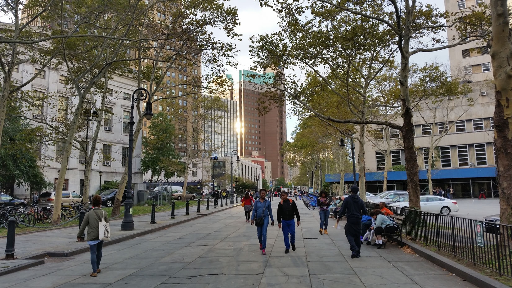
[1]: https://edxuploads.s3.amazonaws.com/14139036169046462.jpg This image is from Brooklyn Heights. What we can see is a sort of a plaza flanked by tall buildings. The one on the right is the Supreme Court of Kings County (Brooklyn is a county itself called Kings, which was the old name for Brooklyn). On the left we have the Brooklyn Borough President building. Also, we can see a City Bike Station, and there is parking space, sort of unstructured. This plaza uses to have a flea market once or twice a week. The invisible information here is all people who uses this bike station. They have to swipe a card to get the bike. It could be useful to have a combined system which allows to use the same card for public transportation and bike sharing. Knowing if people use both systems to move around would allow "us" to design hubs of transportation more efficiently. It would allow, as well, to redesign the public space and the scale of this bike station, maybe not all of the them should have the same number of bikes. Also, attending this is a busy area, it would help to design the parking space (in a more inclusive way with the surroundings) or even to reduce it if we know how people reach here (through GPS we can know from where people take the car to get there) The other pole of invisible information is inside the public buildings. In fact, they have information from the whole country, in a way, they are this new idea of "territory". Attending that more of the processes are digitized, do they have to keep the same scale? Do we need them to be sort of milestones in a city yet? Maybe the new way that Internet offers us to related to the public sphere should lead "us" to design these buildings and the location of them in a different way, maybe more atomized, spread, more on a local level because of their global information access.