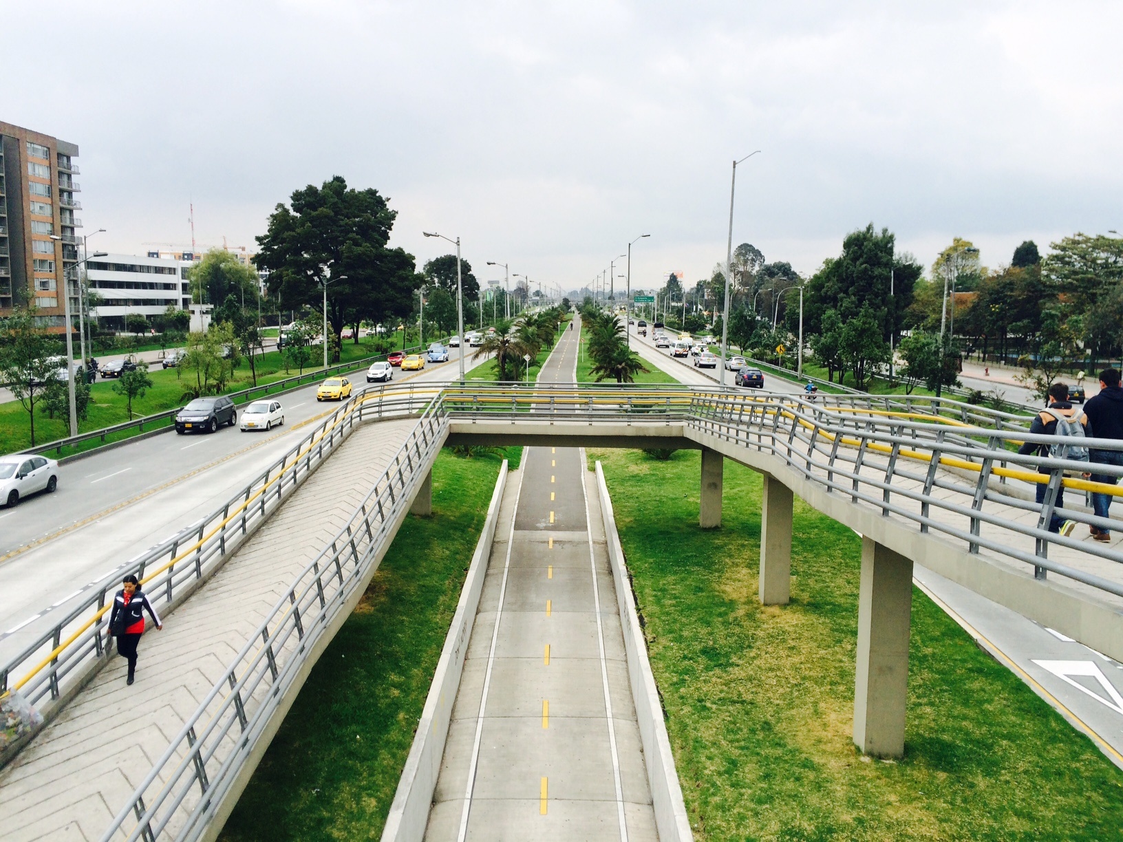
Bogotá DC, El Dorado Avenue
FC-01x Future Cities (1st Run) - Exercise 1 : "Making the Invisible - Visible"

Uploaded on 2014-10-14 by mrmuller
[1]: https://edxuploads.s3.amazonaws.com/14133174652787001.jpg VISIBLE INFORMATION This photo shows the pedestrian entrance to a station's public transportation system of the city, Transmilenio. El Dorado Avenue leading from the airport to the city center. The lane next to the separator are exclusive of Transmilenio and four lanes for cars and buses in each direction. In the center of the separator is a unique bike path that runs along the avenue. Every Avenue has green areas and trees that serve as spacers. This point of the avenue is residential but close to the center of the city is area hotels and trade and government entities. INVISIBLE INFORMATION 1. The bike is an important means of transportation in Bogotá and very used to go to work or college. The city has built kilometers of exclusive lanes for bicycle defined calls "bike paths" and appropriately marked as shown in the photo. 2. Avenue El Dorado encuestra built on wet ground. The green areas and trees in separators help the water can be channeled in the rainy season and decrease the risk of flooding. PLANNING Although cycling is a widely used means of transport, it is still not properly integrated with other media such as Transmilenio. It could measure the distances and times of cycling to build bicycle parking stations for users to store their bikes during the day and finish their tours buses. Also could set the bicycle to be used in bike paths on routes with higher demand, this in order to encourage the use of public and alternative means of transport over private car use.