Uploaded on 2015-10-25 by arifsayani
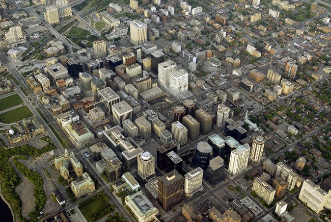
Two photos are shown below, the first, an image of downtown Ottawa, the highly urban core which shows UHIE, and the second image, showing the rural areas. ![enter image description here][1] ![enter image description here][2] [1]: https://edxuploads.s3.amazonaws.com/1445800547987269.jpg [2]: https://edxuploads.s3.amazonaws.com/14458005626862577.jpg Measures that could be taken to help further mitigate this would be building design that is sensitive to the cooling effects provided by the rivers, integration of renewable energy systems, and a comprehensive transportation plan that reduces individual car use. The UHIE is currently discussed in the Climate Change section of the Ottawa General Plan, an urban planning document.