Uploaded on 2015-10-18 by Jdebenito
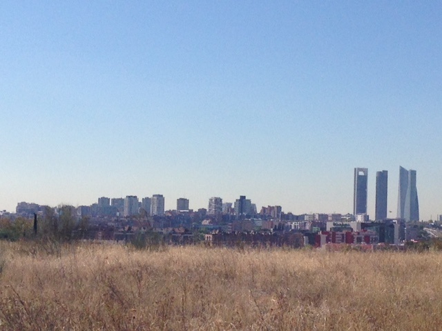
I have found some historical temperature data that can relate to the two areas and to my surprise the historical average given for the city (in an observatory that is however located in a large central park) of 16.1° is higher than for the outskirts (in an observatory located near the main city airport), where it has been measured at 15.8°. While comparing the images one may not understand the counterintuitive results shown above but I guess the reason is the exact position of the metering devices themselves. I assume that the one in the city center captures the characteristics of a rural area as it is located in very vast park extension, with a lake and a lot of nature though it is surrounded by the city center; in this particular case a center that is urbanistically reasonably planned (large avenues and relatively low buildings); while the one outside town can be influenced by the effects of a large airport infrastructure (industrial activity, surrounding highway infrastructures with its traffic, airport activity per se seeming to produce heat, etc). I found it difficult to take measures to reduce the UHI effect as one cannot move the airport but as activity grows and a new airport is needed you may transfer initially sufficient traffic to the new site to, to a certain extent, reduce the effect. To the best of my knowledge (and research), no measures are being planned in either site. ![Madrid down town][1] ![Madrid near airport][2] [1]: https://edxuploads.s3.amazonaws.com/14451925164825552.jpg [2]: https://edxuploads.s3.amazonaws.com/14451924117278158.jpg