Uploaded on 2015-12-14 by JoanaPol
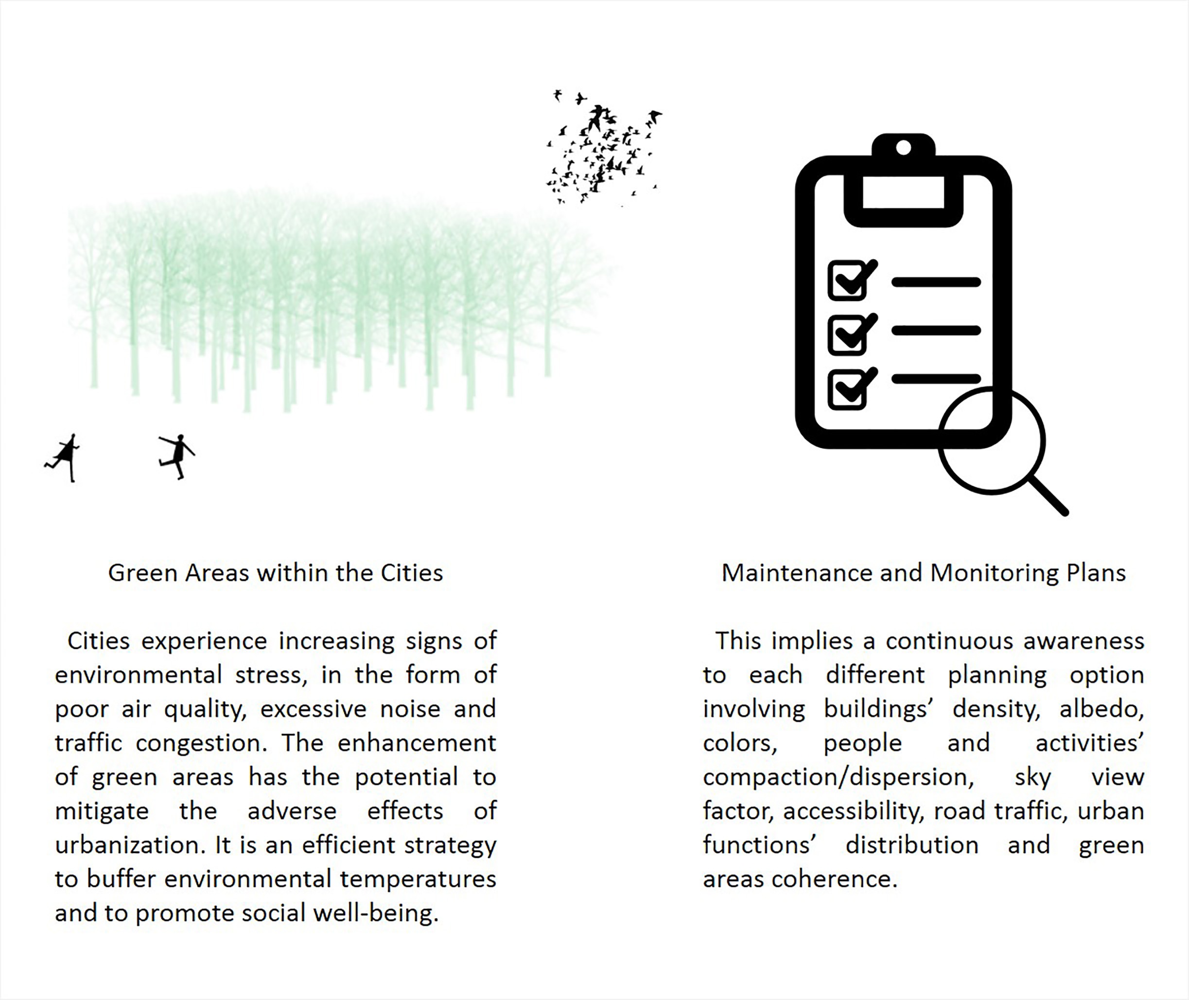
For this exercise I chose Avenida dos Aliados, in Porto (site A). It coincides with the administrative and functional city centre and sets the limits of the main CBD central business district, located at Avenida da Liberdade. ![Avenida dos Aliados][1] Source: http://de.visitportoandnorth.travel/var/porto_norte/storage/images/porto-and-the-north/visit/artigos/three-days-in-porto/445122-3-eng-US/Drei-Tagen-in-Porto.jpg On the other hand, I also chose a surrounding rural area located in Matosinhos (site B). ![Matosinhos][2] Source: http://farm4.static.flickr.com/3707/19207405028_65851cf5e2_o.jpg Evidences suggest that the warming is due to the **intensification of the urbanization process**, that leads to the increase of human activities and the dismissal of green areas. One of the main key consequences is precisely the **air quality degradation**. In fact, the introduction of new artificial geometries and the considerable contraction of CO2 sinking capacity (because of the green areas removal) has led to several results, such as atmospheric circulation shift, thermal positive anomalies, rainfall changes, wind modification and atmospheric pollution. In fact, these results impact on the comfort and also health of the inhabitants. **Which are the measures you would propose?** It is paramount to implement a **fast shifting towards a low carbon way of life** - and reckon the importance of **green areas** to promote a better air quality. The urban heat island influences our comfort and health, thus urban planning is very important in the moderation and prevention of this phenomenon. Therefore, the support of environmentally friendly policies, the increase of vegetation cover and decrease of inputs of large amounts of greenhouse gases in the atmosphere can straightforwardly lead decision makers, urban planners and citizens to engage in a more sustainable approach. ![Diagram][3] Also, I am confident that urban heat island evaluation and monitoring plays an important role. This implies a continuous awareness to each different planning option involving buildings’ density, materials albedo, colours, people and activities’ compaction/dispersion, sky view factor, accessibility, road traffic, urban functions’ distribution, green areas coherence, etc. In fact, understanding the narrow relationship between the local climate and where and how people live (the “**urban modus vivendi**”) must lead to a **critical shift** regarding decision-making policies and the motivation of a **holistic**, systemic approach towards cities, environment and citizens. **Is UHI effect concerning policy making in your area?** Porto has made an effort to re-inforce a maintenance plan set as a way to reduce power consumption, increase the useful life of equipment and buildings and in turn lower CO2 emissions. Added to the monitoring, the role of green areas has not been overlooked. Porto’s Urban Development Plan acknowledges green areas as important thermal, humidity and wind regulators and there has been an effort to maintain and increase vegetation cover throughout the city. [1]: http://de.visitportoandnorth.travel/var/porto_norte/storage/images/porto-and-the-north/visit/artigos/three-days-in-porto/445122-3-eng-US/Drei-Tagen-in-Porto.jpg [2]: http://farm4.static.flickr.com/3707/19207405028_65851cf5e2_o.jpg [3]: https://edxuploads.s3.amazonaws.com/1450132396822884.jpg